Hoyte
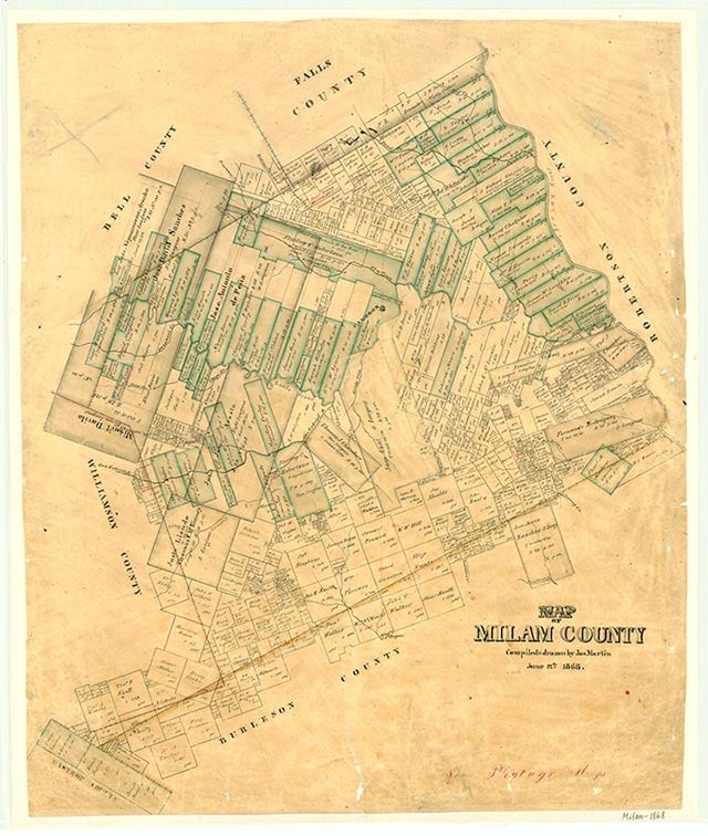
Hoyte, formerly known as Cone's Switch or Arcadia, is on the Atchison, Topeka and Santa Fe line and U.S. Highway 190, six miles southeast of Cameron in central Milam County. Around 1900 John B. McLane gave land to the railroad for a passing track and a wood-loading spur. For a time the community was a flag stop on the rail line and had a small depot. A post office opened at Hoyte in 1904 but was discontinued in 1907. In 1941 a school and several scattered houses marked the community on county highway maps. Hoyte had twenty residents in 1990. The population remained the same in 2000.
Vivian Elizabeth Smyrl | © TSHA
Adapted from the official Handbook of Texas, a state encyclopedia developed by Texas State Historical Association (TSHA). It is an authoritative source of trusted historical records.
- ✅ Adoption Status:
Belongs to
Hoyte is part of or belongs to the following places:
Currently Exists
Yes
Place type
Hoyte is classified as a Town
Associated Names
- (Arcadia)
- (Cone's Switch)
Location
Latitude: 30.78491420Longitude: -96.91553850
Has Post Office
No
Is Incorporated
No
Population Count, 2009
20