Hurlwood
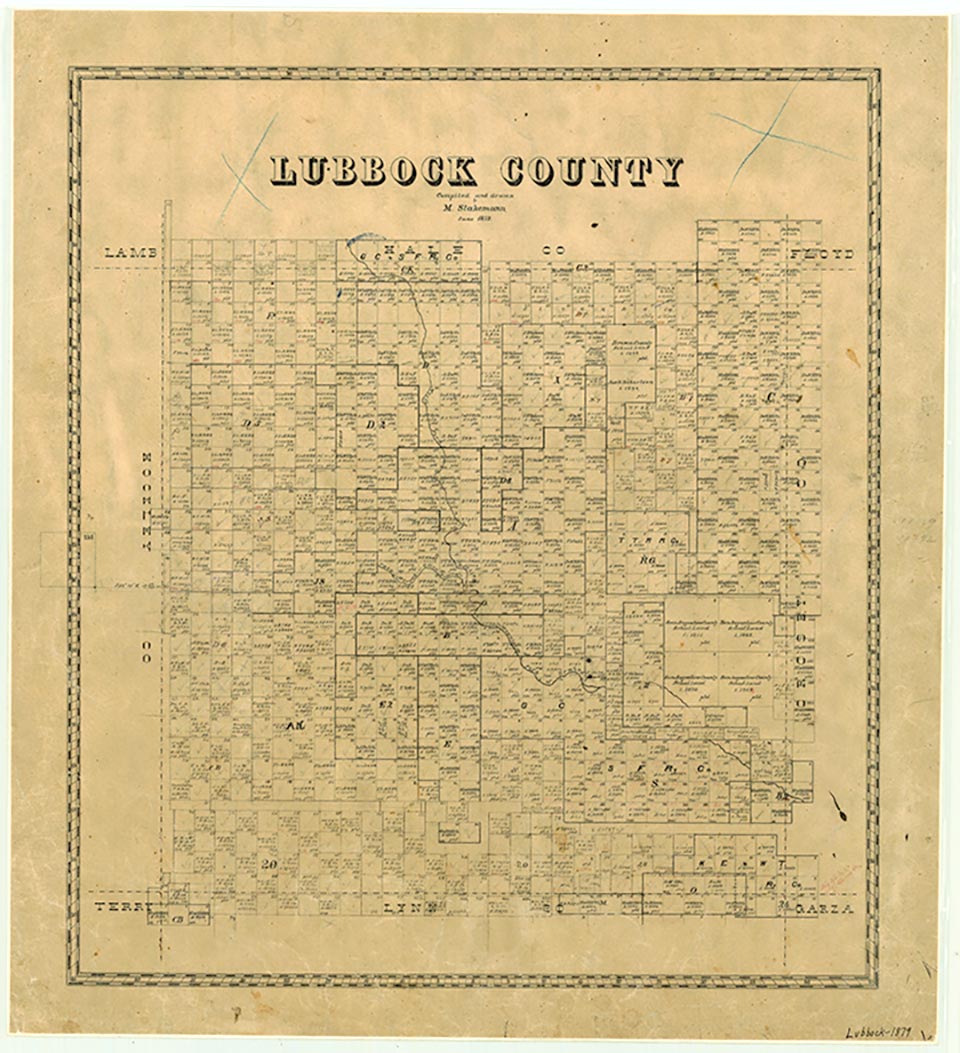
Hurlwood is on State Highway 114 and the Santa Fe Railroad, near the Hockley county line twelve miles west of Lubbock in western Lubbock County. It grew up around a railroad switch in 1924 and was named for Claude B. Hurlbut and W. M. Wood, two early settlers. A post office was opened in January 1926, and a school was built by 1928. In 1935 Hurlwood school was combined with three other rural districts to form the Frenship Rural High School District. By 1940 Hurlwood had a population of fifty, two gins, two groceries, a grain elevator, a blacksmith shop and garage, a poultry store, and a church. At the beginning of World War II the Lubbock Army Air Field (later Reese Air Force Base), an aviation training school, was built there. The town's population was 185 in 1960, 105 in 1970, and 115 in 1980 through 2000.
Charles G. Davis | © TSHA

Adapted from the official Handbook of Texas, a state encyclopedia developed by Texas State Historical Association (TSHA). It is an authoritative source of trusted historical records.

- ✅ Adoption Status:
- This place is available for adoption! Available for adoption!
- Adopted by:
- Your name goes here
- Dedication Message:
- Your message goes here
Belongs to
Hurlwood is part of or belongs to the following places:
Currently Exists
Yes
Place type
Hurlwood is classified as a Town
Location
Latitude: 33.57675260Longitude: -102.03794840
Has Post Office
No
Is Incorporated
No
Population Count, 2009
152

