Ike
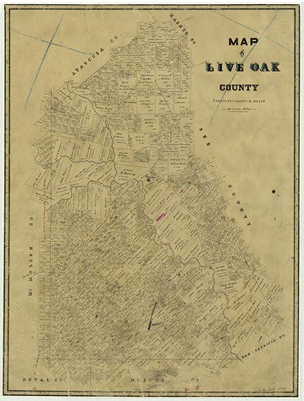
Live Oak County, in South Texas, is bordered by McMullen, Atascosa, Karnes, Bee, San Patricio, Jim Wells, and Duval counties. George West, the county's largest town and seat of government, is in south central Live Oak County at the intersection of U.S. highways 59 and 281. The center point of the county is at 28°20' north latitude and 98°07' west longitude. The county comprises 1,057 square miles of usually flat to rolling terrain vegetated with grasses, mesquite, blackbrush, prickly pear, post oak, and small live oak. The elevation ranges from approximately seventy to 400 feet. In the east, light and dark loamy soils overlie cracking, clayey subsoils; in some other areas, particularly in the northwest, gray to black clayey soils cover a layer of limestone that lies within forty inches of the surface. Other areas have light to dark loamy soils covering reddish subsoils over a similarly shallow layer of limestone. The northern third of Live Oak County is drained partly by the Atascosa River, which flows into the Frio River, and partly by the Frio, which is dammed to form the Choke Canyon Reservoir in the northwestern corner of the county. Just a few miles southeast, the Frio flows into the Nueces River, which traverses Live Oak County toward the southeast before emptying into Lake Corpus Christi in the county's southeastern corner. In 1982, 86 percent of the county was devoted to ranching and farming, with 15 percent of the land being cultivated and 3 percent under irrigation; 41 to 50 percent of the county's land is considered to be prime farmland. Mineral resources include uranium, caliche, clay, sand and gravel, oil, and natural gas. Crude oil production in 1982 totaled 778,00 barrels; 83,877,633,000 cubic feet of gas-well gas, 999,477,000 cubic feet of casinghead gas, and 1,659,362 barrels of condensate were also produced. Temperatures in Live Oak County range from an average high of 96° F in July to an average low of 42° in January, for an average annual temperature of 71°. Rainfall averages twenty-eight inches a year, and the growing season lasts 289 days. Before the area was settled and overgrazed in the nineteenth century, grasslands punctuated by clumps of mesquite and live oak trees covered much of what is now Live Oak County. A thick mat of vegetable material produced by the grasses helped to retain rainfall and to build a water table high enough to support a few running springs and creeks. In some areas, springs fed waterholes that harbored alligators and fish.
Artifacts dating from the Paleo-Indian period (9200–6000 B.C.) demonstrate that human beings have lived in the area of Live Oak County for perhaps 11,000 years. The local Indian population seems to have increased during the Archaic period (6000 B.C.–A.D. 1000), when many groups of hunter-gatherers spent part or all of their time in the area. During this period the county's inhabitants subsisted mostly on game, wild fruits, seeds, and roots. They carved tools from wood and stone, wove baskets, and made rabbit-skin clothing. The hunting and gathering life persisted into the Late Prehistoric period (A.D. 1000 to the arrival of the Spanish), though during this time Indians in the area learned to make pottery and hunted with bows and arrows.
John Leffler | © TSHA
Adapted from the official Handbook of Texas, a state encyclopedia developed by Texas State Historical Association (TSHA). It is an authoritative source of trusted historical records.
- ✅ Adoption Status:
- This place is available for adoption! Available for adoption!
- Adopted by:
- Your name goes here
- Dedication Message:
- Your message goes here
Belongs to
Ike is part of or belongs to the following places:
Currently Exists
No
Place type
Ike is classified as a Town
Associated Names
- [Ike West]
Location
Latitude: 28.39138620Longitude: -98.15445080
Has Post Office
No
Is Incorporated
No