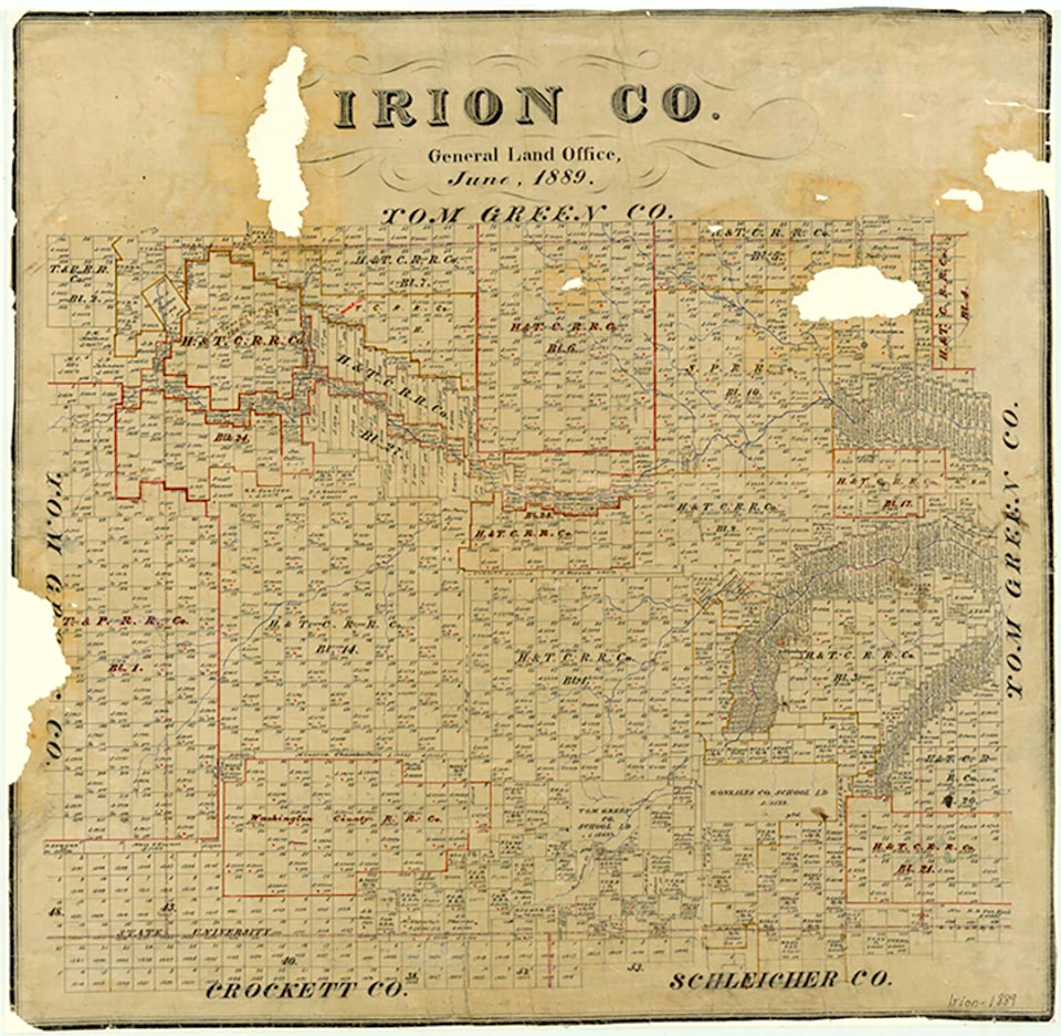
Irion County

Irion County, Texas

Irion County, Texas
Irion County is on U.S. Highway 67 and State Highway 163 in southwest central Texas, bounded on the west by Reagan County, on the south by Crockett and Schleicher counties, and on the north and east by Tom Green County. It was named for Robert Anderson Irion. The center of the county is at 31°18' north latitude and 100°35' west longitude, forty miles southwest of San Angelo. The county embraces 1,051 square miles of rolling prairie, grass, mesquite, and, in some sections, exposed rock. Elevations range from 2,100 to 2,600 feet above sea level. The county is drained by the Middle Concho River and its tributaries; springs in the Edwards Plateau limestone feed Dove and Spring creeks. Soils vary from sandy to clay to gravel. The average annual rainfall is 21.33 inches. Irion County has an average minimum temperature of 32° F in January and an average maximum of 96° in July. The growing season lasts 232 days. About 90 percent of the county's $7 million annual agricultural income is derived from cattle, sheep, and Angora goats; other agricultural products include pecans, sorghums, small grains, and cotton. Oil and gas production provides most of the county's income. In 1982 crude production was 3,425,871 barrels, worth $102,760,444.
The Tonkawa Indians once occupied the area of Irion County. Spanish explorers Hernán Martín and Diego del Castillo traversed it in 1650; Juan Domínguez de Mendoza and Nicolás López followed in 1684 and reported on local Indians. In 1761 Felipe Rábago y Terán passed through the area, probably following Mendoza's path. From 1858 to 1861 coaches of the San Antonio-San Diego Mail and the Butterfield Overland Mail crossed the region. On January 8, 1865, the battle of Dove Creek was fought at the junction of Spring and Dove creeks between 1,400 Kickapoo Indians and 370 state border guards under Capt. Henry Fossett. The Kickapoos were eastern Indians who had been uprooted by the American government and removed to reservations in Indian Territory; they were attempting to move to Mexico when intercepted by Fossett's troops. Thirty-six Whites were killed and sixty wounded in the battle; Indian casualties totaled eleven dead and thirty-one wounded. The area had been part of the Fisher-Miller Land Grant of 1843, but no settlements were established in what is now Irion County until the late 1870s, after the Indian threat had been eliminated. In 1874 the area became part of Tom Green County, which was formed that year from 12,500 square miles taken from Bexar County. G. W. Wood, Richard F. Tankersley, Bruce McCain, and others established cattle ranches in the area.
William R. Hunt, John Leffler | © TSHA
Adapted from the official Handbook of Texas, a state encyclopedia developed by Texas State Historical Association (TSHA). It is an authoritative source of trusted historical records.
- ✅ Adoption Status:
- This place is available for adoption! Available for adoption!
- Adopted by:
- Your name goes here
- Dedication Message:
- Your message goes here
Currently Exists
Yes
Place type
Irion County is classified as a County
Altitude Range
2000 ft – 2750 ft
Size
Land area does not include water surface area, whereas total area does
- Land Area: 1,051.6 mi²
- Total Area: 1,051.6 mi²
Temperature
January mean minimum:
32.0°F
July mean maximum:
95.0°F
Rainfall, 2019
20.2 inches
Population Count, 2019
1,536
Civilian Labor Count, 2019
724
Unemployment, 2019
7.7%
Property Values, 2019
$1,933,639,640 USD
Per-Capita Income, 2019
$68,327 USD
Retail Sales, 2019
$6,084,842 USD
Wages, 2019
$16,338,644 USD
County Map of Texas
Irion County
- Irion County
Places of Irion County
| Place | Type | Population (Year/Source) | Currently Exists |
|---|---|---|---|
| Town | 7 (2009) | Yes | |
| Town | 110 (2009) | Yes | |
| Town | – | – | |
| Town | – | – | |
| Town | – | – | |
| Town | – | – | |
| Town | – | – | |
| Town | 771 (2021) | Yes | |
| Town | – | – | |
| Town | – | – | |
| Town | – | – | |
| Town | 170 (2009) | Yes | |
| Town | – | – |
Proud to call Texas home?
Put your name on the town, county, or lake of your choice.
Search Places »