Jarvis
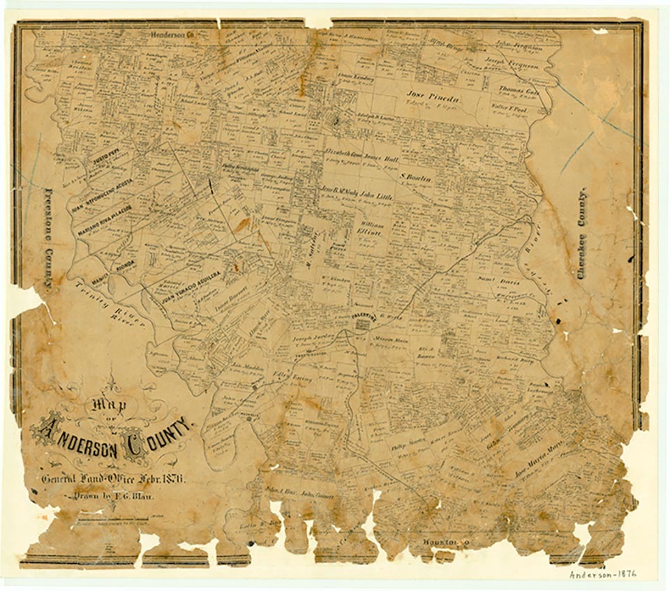
Jarvis was on the Texas State Railroad at the intersection of two country roads just south of U.S. Highway 84, some ten miles east of Palestine in southeastern Anderson County. The community was the site of an unsuccessful oil-drilling operation in 1909. In the 1930s it had a number of dwellings, two churches, and one business. A 1982 map showed a few scattered dwellings at Jarvis, while a church, called Fields Chapel, was located a half mile north on U.S. Highway 84. By 1985 Jarvis was no longer named on the county highway map, though the church still stood.
Mark Odintz | © TSHA
Adapted from the official Handbook of Texas, a state encyclopedia developed by Texas State Historical Association (TSHA). It is an authoritative source of trusted historical records.
- ✅ Adoption Status:
Belongs to
Jarvis is part of or belongs to the following places:
Currently Exists
No
Place type
Jarvis is classified as a Town
Location
Latitude: 31.75517250Longitude: -95.44495110
Has Post Office
No
Is Incorporated
No