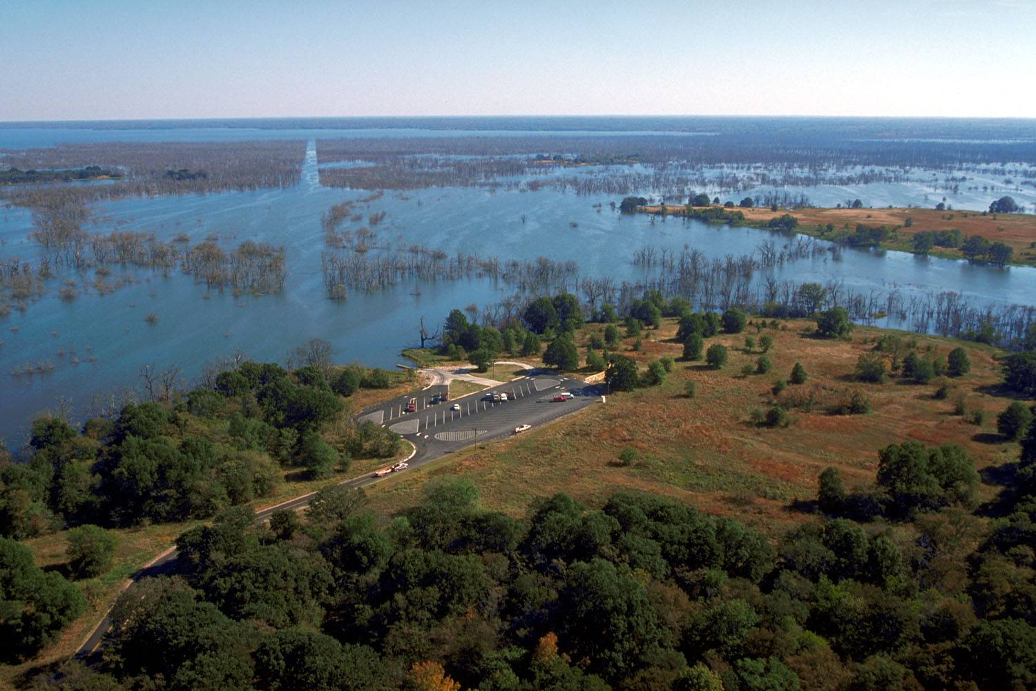
Jim Chapman Lake
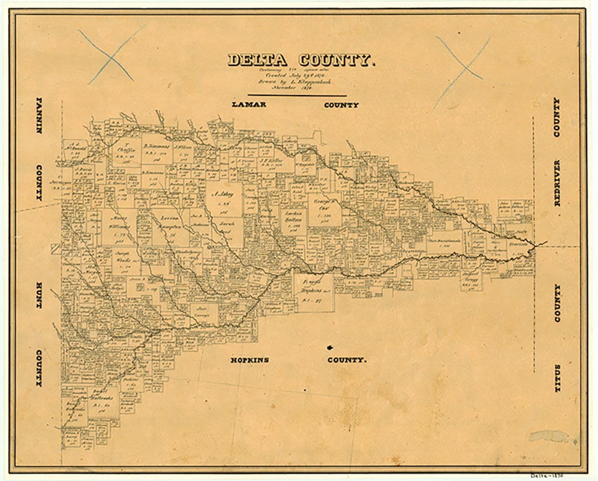
Cooper Lake is on the South Sulphur River on the border of Delta and Hopkins counties approximately three miles south of Cooper and twelve miles northwest of Sulphur Springs. Area residents, led by local landowners Grover Pickering and Quentin Miller, first proposed the construction of a reservoir for the purposes of flood control and water storage in the late 1930s. In 1948 Congressman Wright Patman requested a feasibility study for a dam and reservoir on the South Sulphur River, and the United States Army Corps of Engineers published a favorable report in 1950. In the early 1950s the cities of Sulphur Springs and Commerce, along with Delta County, signed on with the project, and the Cooper Dam bill was passed and signed in 1955.
The reservoir project hit the first of a series of stumbling blocks in 1957, when the Corps of Engineers announced that the damsite would need to be moved six miles downstream. Throughout the 1960s construction was delayed as more interests—the North Texas Municipal Water District and the City of Irving—came to the bargaining table, and various factions argued over water storage rights, pollution control measures, allocations of water storage permits, and lake capacities. The contract for Cooper Dam and Reservoir was finally signed on March 29, 1968, and land acquisition which had begun in the early 1960s resumed. The project, however, suffered another setback in 1971 when the Texas Committee on Natural Resources, a non-profit trust, filed suit against the Corps of Engineers for failing to file an environmental impact statement. Government agencies debated issues of environmental studies and mitigation for the next thirteen years, until 1984, when an appeals court lifted an injunction on construction.
Laurie E. Jasinski | © TSHA

Adapted from the official Handbook of Texas, a state encyclopedia developed by Texas State Historical Association (TSHA). It is an authoritative source of trusted historical records.

- ✅ Adoption Status:
- This place is available for adoption! Available for adoption!
- Adopted by:
- Your name goes here
- Dedication Message:
- Your message goes here
Belongs to
Jim Chapman Lake is part of or belongs to the following places:
Lake Measurements
- Surface Area (in acres): 17,958
- Storage Capacity (in acre-feet): 298,930
Lake Maintained or Owned by
USAE
Date of Origin
1991 (33 years ago)Currently Exists
Yes
Place type
Jim Chapman Lake is classified as a Lake
Purposes
- Flood Control
- Recreation
- Municipal water supply
Associated Names
- (Lake Cooper)
- (Cooper Lake)


