Jimkurn
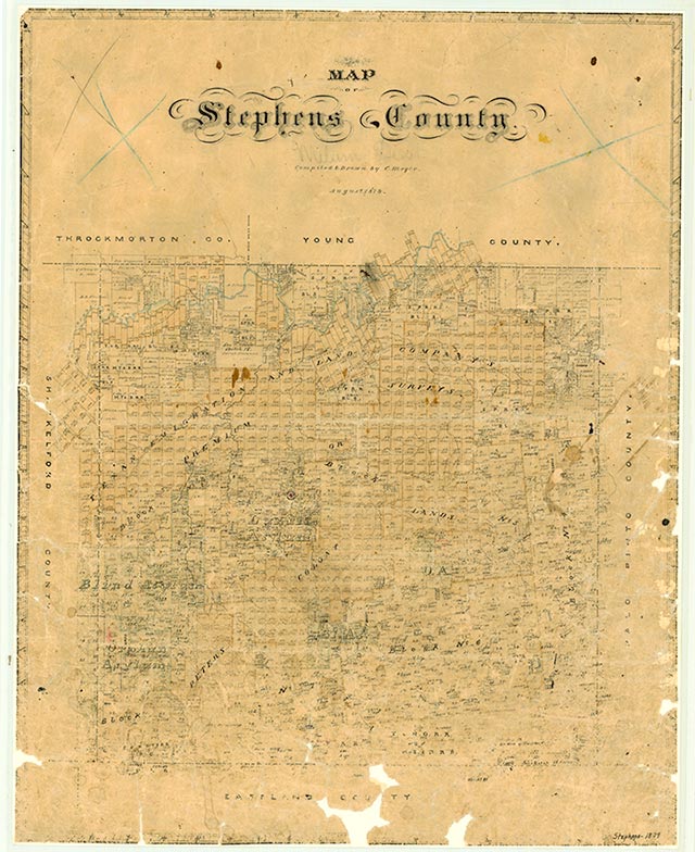
Jimkurn, in northern Stephens County, became a post office and station on the Wichita Falls and Southern Railway in 1920, but it did not survive long after the first flush of the region's oil boom. In 1926 its post office was closed.
Continue Reading
| © TSHA
Adapted from the official Handbook of Texas, a state encyclopedia developed by Texas State Historical Association (TSHA). It is an authoritative source of trusted historical records.
- ✅ Adoption Status:
Belongs to
Jimkurn is part of or belongs to the following places:
Currently Exists
No
Place type
Jimkurn is classified as a Town
Location
Latitude: 32.87425900Longitude: -98.88802400
Has Post Office
No
Is Incorporated
No