Katemcy

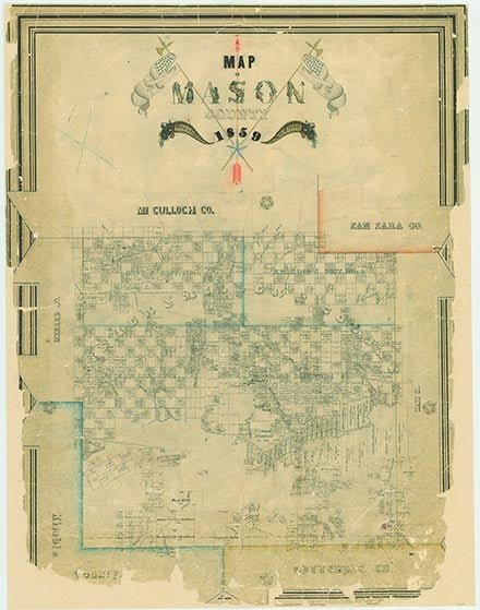
Katemcy is on Katemcy Creek and Farm Road 1222 a mile east of Interstate Highway 87 in northern Mason County. According to some sources it was originally named Cootsville, after Andy Coots, an early settler. Its current name is taken from that of Comanche chief Ketemoczy, with whom John O. Meusebach is said to have signed a treaty near the town's current site in 1847. Legend has it that the first settler in the area was a man named Burnett, who had driven several hundred hogs there to feed on the plentiful acorns and pecans in the vicinity. Early settlers, most of them Anglo-Americans, began building south along the creek by 1874, and by 1880 the town was fairly well established. Among the earliest settlers was the Cowan family, whose farm at Devil Springs was near the site of a former Indian camp, as indicated by the numerous artifacts found in the area. William Flemon Cowan, a doctor, and his wife, Mary Ann, a midwife, provided medical service to the early community. Three brothers, John, Elias, and Alfred Cowan, built a sawmill, gristmill, and cotton gin on the east bank of the creek. Alfred Cowan also operated the first store and became the first postmaster when the post office was opened in 1884. He supposedly suggested Hammerville as a name for the town because of all the building going on at the time, but the post office responded that there were already too many towns ending in ville and asked that another name be chosen, so the town was named Katemcy.
In 1883 Lawson Jones, a Baptist minister, gave land to build a school. It was called Picket School and later named Friendship School. When a public school was built, the building became the Friendship Baptist Church. Between 1900 and 1910 people moved to the area, drawn by the availability of cheap land and plentiful water. The estimated population between 1900 and 1904 was 143. By 1914 the community had telephone service. Before 1920 Katemcy was an active community on the highway between San Antonio and San Angelo. At one time it had two blacksmith shops, two general stores, two doctors, a cotton gin, a chili shack, three churches, and a school with three teachers. It began to decline in 1925, and the population dropped to an estimated 100. This was probably due to the increased use of tractors in farming, which eliminated the need for tenant farmers. The consolidation of rural schools with the Mason schools in 1945 also lessened the importance of the small communities. From 1968 to 1985 the population was an estimated 162. In 1980 the town had a store, a post office, scattered dwellings, and the Katemcy Community Club, located in the old Methodist church building. In 1990 the population was ninety. The population remained the same in 2000.
Alice J. Rhoades | © TSHA

Adapted from the official Handbook of Texas, a state encyclopedia developed by Texas State Historical Association (TSHA). It is an authoritative source of trusted historical records.
Belongs to
Katemcy is part of or belongs to the following places:
Currently Exists
Yes
Place type
Katemcy is classified as a Town
Associated Names
- (Cootsville)
Location
Latitude: 30.91267300Longitude: -99.25394380
Has Post Office
No
Is Incorporated
No
Population Count, 2009
80

