Kreutsberg
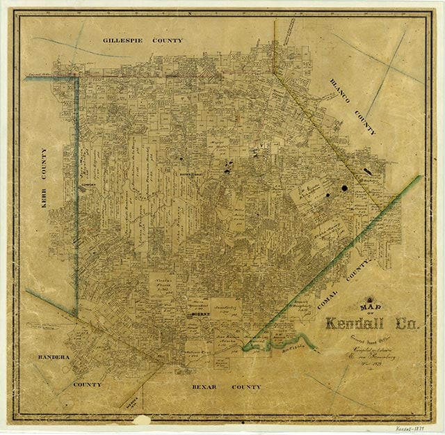
Kreutsberg (Kreuzberg, Kreutzberg) is on Farm Road 474 six miles northeast of Boerne in south central Kendall County. In 1847 the Vincent Phillip family placed a cross on a nearby hill as a landmark; the name Kreutsberg, German for "Cross Mountain," was applied to the community that developed later. In 1905 the Kreutsberg school had one teacher and twenty-eight students. A school and several houses marked the community on county highway maps in the 1940s. The Kreutsberg school district was divided between the Boerne and Kendalia districts in 1952. In the 1980s the old school was used as a community center.
Vivian Elizabeth Smyrl | © TSHA
Adapted from the official Handbook of Texas, a state encyclopedia developed by Texas State Historical Association (TSHA). It is an authoritative source of trusted historical records.
- ✅ Adoption Status:
Belongs to
Kreutsberg is part of or belongs to the following places:
Currently Exists
No
Place type
Kreutsberg is classified as a Town
Associated Names
- [Kruez-]
- [Kreutz-]
Location
Latitude: 29.86355070Longitude: -98.67530300
Has Post Office
No
Is Incorporated
No