La Gloria
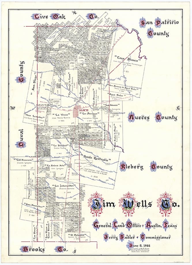
La Gloria is a mile west of U.S. Highway 281 and four miles north of Falfurrias in southern Jim Wells County. A post office was established there in 1908, and by 1914 the community had a population of fifty, a cotton gin, a general store, and telephone service. The San Antonio and Aransas Pass Railway built a stop at La Gloria in 1914. The post office closed in 1918. In 1936 the community consisted of a school and scattered dwellings and farms. In 1963 La Gloria still had a school, as well as a water tank and an oil refinery. It remained a dispersed community in 1993.
Alicia A. Garza | © TSHA

Adapted from the official Handbook of Texas, a state encyclopedia developed by Texas State Historical Association (TSHA). It is an authoritative source of trusted historical records.

- ✅ Adoption Status:
Belongs to
La Gloria is part of or belongs to the following places:
Currently Exists
Yes
Place type
La Gloria is classified as a Town
Location
Latitude: 27.28143020Longitude: -98.13333780
Has Post Office
No
Is Incorporated
No
Population Count, 2009
70

