La Rosita
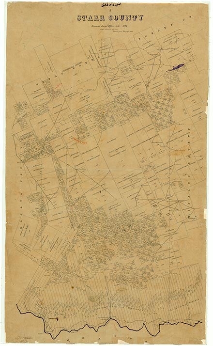
Rosita, seven miles west of Rio Grande City in southern Starr County, began as a small community of descendants of early Spanish colonists, probably followers of José de Escandón. The 1936 county highway map shows farm units and a school in the vicinity of the townsite. In 1933 Rosita had an estimated seventy-five residents, and in 1971 it had 215, mostly engaged in farming; the town in that year included a filling station, a grocery, and a gravel-mining operation (all still present in 1991). With the coming of the four-lane U.S. Highway 83, Rosita expanded, and by 1991 it reached Garceño on the west and had a population estimated by local sources at 1,000 (though the Texas Almanac listed only 220 residents at that time). A dozen or more stores were in the vicinity, and Rosita included the Santa Rosa de Lima Catholic Church, a large parish hall, a volunteer fire department, and a recreational-vehicle park.
Dick D. Heller, Jr. | © TSHA
Adapted from the official Handbook of Texas, a state encyclopedia developed by Texas State Historical Association (TSHA). It is an authoritative source of trusted historical records.
- ✅ Adoption Status:
- This place is available for adoption! Available for adoption!
- Adopted by:
- Your name goes here
- Dedication Message:
- Your message goes here
Belongs to
La Rosita is part of or belongs to the following places:
Currently Exists
Yes
Place type
La Rosita is classified as a Town
Associated Names
- [Rosita]
Location
Latitude: 26.40590990Longitude: -98.91961400
Has Post Office
No
Is Incorporated
No
Population Count, 2021 View more »
100