Lahey
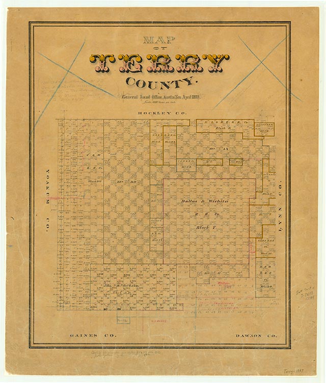
Lahey is on U.S. Highway 62/385 and the Atchison, Topeka and Santa Fe line, six miles southwest of Brownfield in central Terry County. The farming community, including a store and a school, was established on the railroad in the early 1900s and named for Thomas H. Lahey, a supporter of the Panhandle and Santa Fe Railway. A post office was granted to the community in 1926 with Edward J. Powell as postmaster. In 1936 Lahey reported a post office, a business, and a population of fifteen. Postal service was moved to Brownfield in 1938. A store, a rural school, and a railroad switch were functioning at Lahey into the early 1950s. The community was still shown on the 1984 county highway map.
Charles G. Davis | © TSHA
Adapted from the official Handbook of Texas, a state encyclopedia developed by Texas State Historical Association (TSHA). It is an authoritative source of trusted historical records.
- ✅ Adoption Status:
Belongs to
Lahey is part of or belongs to the following places:
Currently Exists
No
Place type
Lahey is classified as a Town
Location
Latitude: 33.12287120Longitude: -102.33435160
Has Post Office
No
Is Incorporated
No