Lake Buchanan
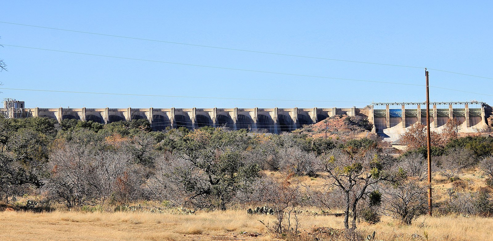
Buchanan Dam was completed in 1938
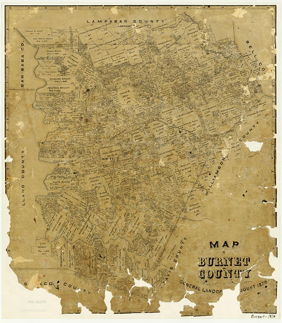
Lake Buchanan is ten miles northwest of Burnet in Burnet and Llano counties. It was created by the construction of Buchanan Dam (at 30°45' N, 98°25' W), the first of a series of six projects owned and operated on the Colorado River by the Lower Colorado River Authority. The dam is a multiple concrete arch and gravity structure measuring 11,200 feet long and 145 feet high. Construction began in April 1931 but was suspended in April 1932; work resumed in 1935 and was completed in 1938; deliberate impoundment of water began in May 1937. The project was originally known as Hamilton Dam and Reservoir, but when its construction was completed, the name was changed to honor Texas Congressman James Paul Buchanan. In terms of area, Lake Buchanan is the largest of the Texas lakes, measuring thirty-one miles long and as many as five miles across. The reservoir has a capacity of 992,000 acre-feet and a surface area of 23,200 acres at the spillway crest elevation of 1,020.5 feet above mean sea level. Water released from Buchanan Reservoir is subsequently used at Inks, Lyndon B. Johnson, Marble Falls, Mansfield, and Austin plants for power generation, irrigation, mining, municipal, and recreational purposes. Normal water releases are controlled by the operation of turbines in the powerhouse. Floodwater releases are from one or more sections of the gated spillways.
There are three generation units with allied equipment, with a rated capacity of 11,250 kilowatts each. In addition to the three generating units, there is a pump-back unit that has a capacity of 840 cubic feet per second for returning water from the Buchanan tailrace (Inks Lake) into Buchanan Reservoir. The pump is driven by a 14,500-horsepower motor. This unit operates at off-peak times for power requirements when electric energy can be purchased at a lower rate than its cost during the time of greatest demand. The generating units and the pump are all housed in the powerhouse structure. The drainage area above the reservoir is 31,250 square miles, of which 11,900 square miles are probably noncontributing. Along the lakeshore there has been considerable residential and recreational development; resorts and subdivisions have been built on both the Burnet and Llano sides of the lake.
Seth D. Breeding | © TSHA

Adapted from the official Handbook of Texas, a state encyclopedia developed by Texas State Historical Association (TSHA). It is an authoritative source of trusted historical records.

- ✅ Adoption Status:
Belongs to
Lake Buchanan is part of or belongs to the following places:
Lake Measurements
- Surface Area (in acres): 22,452
- Storage Capacity (in acre-feet): 880,356
Lake Maintained or Owned by
LCRA
Date of Origin
1937 (87 years ago)Currently Exists
Yes
Place type
Lake Buchanan is classified as a Lake
Purposes
- Flood Control
- Recreation
- Power generation
- Municipal water supply
Associated Names
- (Hamilton Reservoir)
