Lake Hawkins
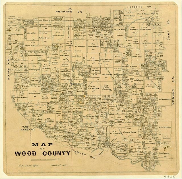
Lake Hawkins and Wood County Dam No. 3 are on Little Sandy Creek in the Sabine River basin three miles northwest of Hawkins in southeastern Wood County (at 35°37' N, 95°15' W). The project is owned and operated by Wood County for flood regulation and recreational purposes. Construction of the earthfill dam, which was designed by the engineering firm of Wisenbaker, Fix, and Associates and the firm of Freese and Nichols (see FREESE, SIMON W. and NICHOLS, MARVIN C.), began on June 9, 1961; the dam was completed on September 17, 1962. Impoundment of water began on August 1, 1962. The lake has a capacity of 11,890 acre-feet and a surface area of 776 acres at the service spillway crest elevation of 343.75 feet above mean sea level. A flood retardation surcharge capacity of 8,210 acre-feet is provided between the crests of the service spillway and the emergency spillway. The drainage area of Little Sandy Creek above the dam is thirty square miles.
Seth D. Breeding | © TSHA
Adapted from the official Handbook of Texas, a state encyclopedia developed by Texas State Historical Association (TSHA). It is an authoritative source of trusted historical records.
- ✅ Adoption Status:
Belongs to
Lake Hawkins is part of or belongs to the following places:
Lake Measurements
- Surface Area (in acres): 776
- Storage Capacity (in acre-feet): 11,690
Lake Maintained or Owned by
Wood County
Date of Origin
1962 (62 years ago)Currently Exists
Yes
Place type
Lake Hawkins is classified as a Lake
Purposes
- Flood Control
- Recreation
More about Lake Hawkins
Impounded by Wood County Dam No. 3