Lake Lyndon B. Johnson

Honeymoon Ranch lies on the shore of Lake Lyndon B. Johnson
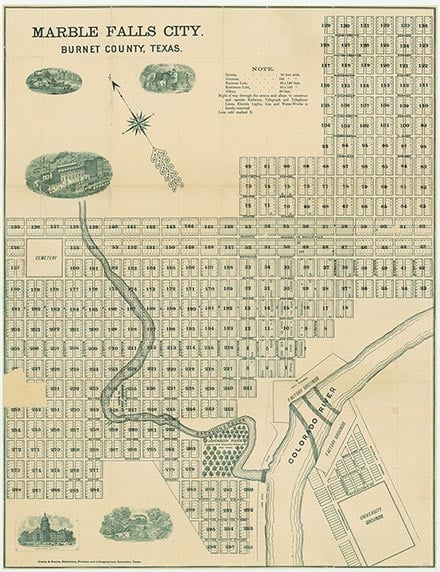
Lake Lyndon B. Johnson is a reservoir formed by Wirtz Dam (at 30°33' N, 98°20'W) on the Colorado River four miles west of Marble Falls in Burnet and Llano counties. The reservoir, formerly known as Granite Shoals Lake, was renamed on April 22, 1965, for President Lyndon B. Johnson "in gratitude for his work as United States Congressman and Senator toward the development of the project." The project is owned and operated by the Lower Colorado River Authority and is used primarily for generating hydroelectric power. It is one of six such operations on the Colorado River; the other five are Lake Buchanan, Inks Lake, Lake Marble Falls, Lake Travis, and Lake Austin. Lake LBJ is the second project downstream from Lake Buchanan and generates power using the controlled discharge of water from the Buchanan electrical generating plant together with the added flow of the Llano River.
Construction on Wirtz Dam, a concrete and earthfill structure, was begun in September 1948 and was completed in November 1951; deliberate impoundment of water began in May 1951. The reservoir, at a normal operating elevation of 825 feet above mean sea level, has a capacity of 138,500 acre-feet and a surface area of 6,200 acres. Under normal conditions the water level fluctuates over a small range because the power plant operation is coordinated with the inflow. Water from this reservoir is released to Lake Marble Falls for use at the Max Starcke Dam electrical generating plant. Except during floods, the only water released is through the turbines for the generation of power. The drainage area of the lake is 36,290 square miles, of which 11,900 are noncontributing. However, the river flow is determined by the controlled discharge of the Lake Buchanan and Inks Lake plants upstream on the Colorado River, plus the entire unregulated flow from the Llano River. The power plant contains two 22,500-kilowatt generating units with auxiliary equipment for connecting to the transmission system. Considerable residential and recreational development has occurred along the lakeshore; Horseshoe Bay and Sunrise Beach in Llano County and Granite Shoals in Burnet County are the primary communities on the lake.
Seth D. Breeding | © TSHA
Adapted from the official Handbook of Texas, a state encyclopedia developed by Texas State Historical Association (TSHA). It is an authoritative source of trusted historical records.
- ✅ Adoption Status:
- This place is available for adoption! Available for adoption!
- Adopted by:
- Your name goes here
- Dedication Message:
- Your message goes here
Belongs to
Lake Lyndon B. Johnson is part of or belongs to the following places:
Lake Measurements
- Surface Area (in acres): 6,110
- Storage Capacity (in acre-feet): 115,249
Lake Maintained or Owned by
LCRA
Date of Origin
1951 (73 years ago)Currently Exists
Yes
Place type
Lake Lyndon B. Johnson is classified as a Lake
Purpose
- Power generation