Lake McQueeney

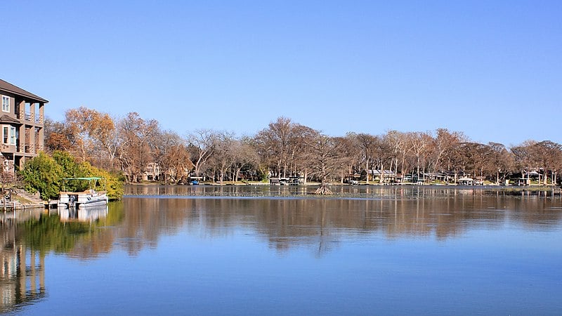
A Quiet Day on Lake McQueeney
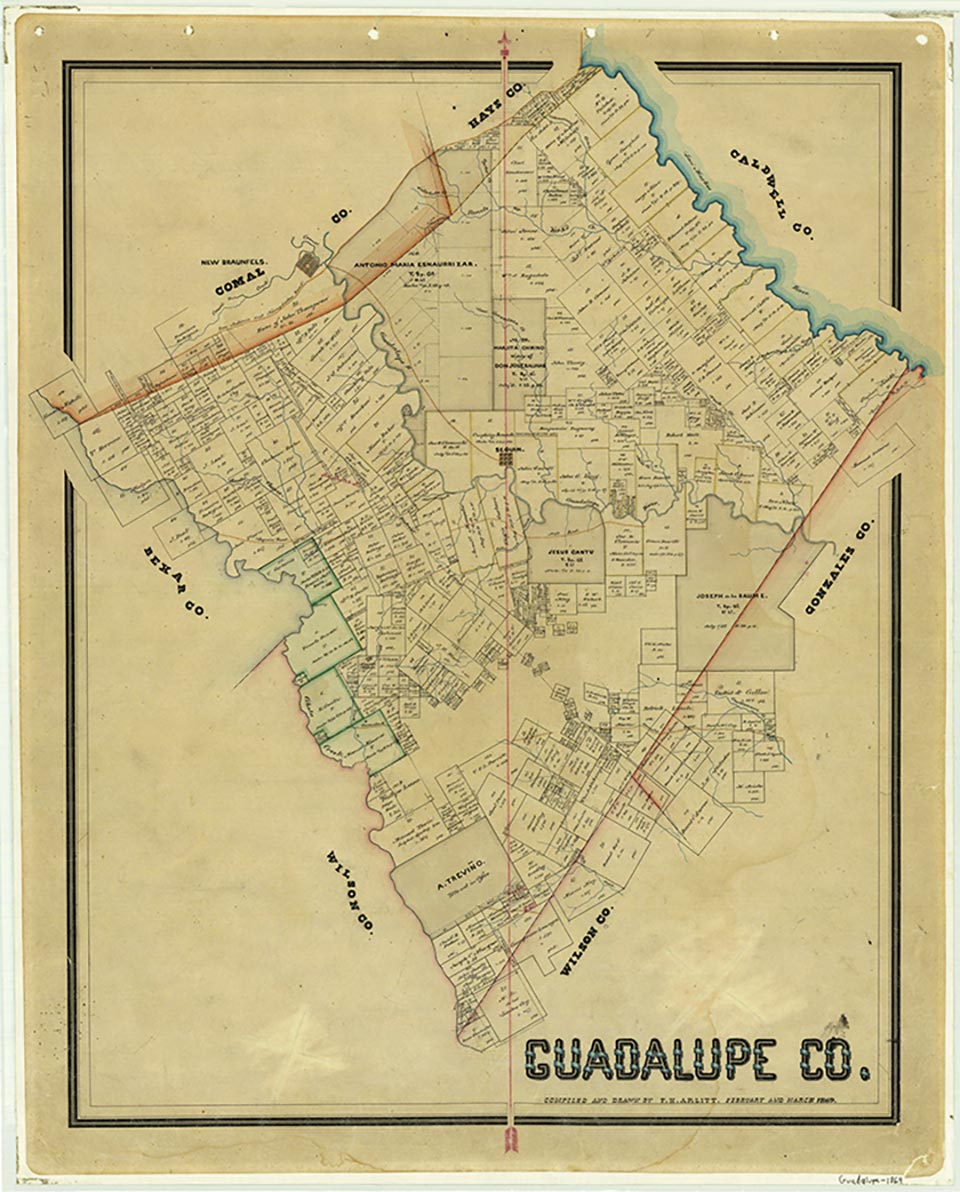
Lake McQueeney, also called Lake Abbott, is on the Guadalupe River five miles west of Seguin in western Guadalupe County (at 29°36' N, 98°02' W). The Lake McQueeney and Abbott Dam project is owned and operated by the Guadalupe-Blanco River Authority for generation of hydroelectric power. Construction of the Abbott Dam began in 1927 and was completed in 1928. The lake has a capacity of 5,000 acre-feet and a surface area of 396 acres at an elevation of 528 feet above mean sea level. The total generating capacity of the power plant is 2,800 kilowatts. The river flow has been partly regulated since June 1964 by releases from Canyon Reservoir. The drainage area above the dam is 1,684 square miles. Recreational facilities have prompted the building of many lakehouses and summer residences around the lake.
Seth D. Breeding | © TSHA

Adapted from the official Handbook of Texas, a state encyclopedia developed by Texas State Historical Association (TSHA). It is an authoritative source of trusted historical records.

- ✅ Adoption Status:
Belongs to
Lake McQueeney is part of or belongs to the following places:
Lake Measurements
- Surface Area (in acres): 396
- Storage Capacity (in acre-feet): 5,000
Lake Maintained or Owned by
Guadalupe-Blanco River Authority
Date of Origin
1928 (96 years ago)Currently Exists
Yes
Place type
Lake McQueeney is classified as a Lake
Purposes
- Conservation
- Recreation
- Power generation
Associated Names
- (Abbott Dam)


