Lantana
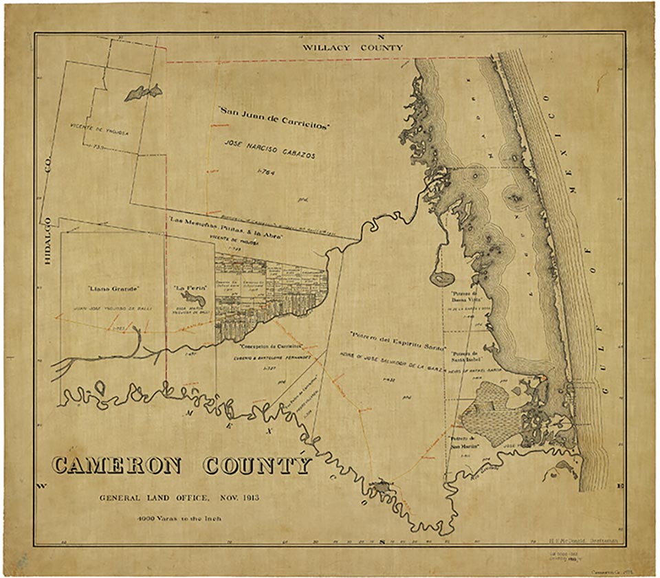
Lantana is on the Southern Pacific line near the junction of State Highway 345 and Farm Road 1561 three miles southeast of Rio Hondo in north central Cameron County. It was established around 1927 as a switch and loading station on the Texas and New Orleans Railroad when a line was constructed from Brownsville to the Edinburg Junction. The San Benito Irrigation Canal helped to transform the district from a ranching area to a productive farming region. Lantana reported a school, two stores, and a population of twenty-five in 1935. In 1948 it had a factory, two other businesses, scattered dwellings, and an estimated population of fifty. By 1956 all that remained in the area was scattered dwellings, and by the mid-1970s the community had changed little. During the early 1990s the Southern Pacific still served the area, and Lantana was a dispersed rural community. The population was 137 in 2000.
Alicia A. Garza | © TSHA
Adapted from the official Handbook of Texas, a state encyclopedia developed by Texas State Historical Association (TSHA). It is an authoritative source of trusted historical records.
- ✅ Adoption Status:
Belongs to
Lantana is part of or belongs to the following places:
Currently Exists
No
Place type
Lantana is classified as a Town
Associated Names
- (Villa del Sol)
Location
Latitude: 26.19313020Longitude: -97.57887630
Has Post Office
No
Is Incorporated
No