Little St. Louis
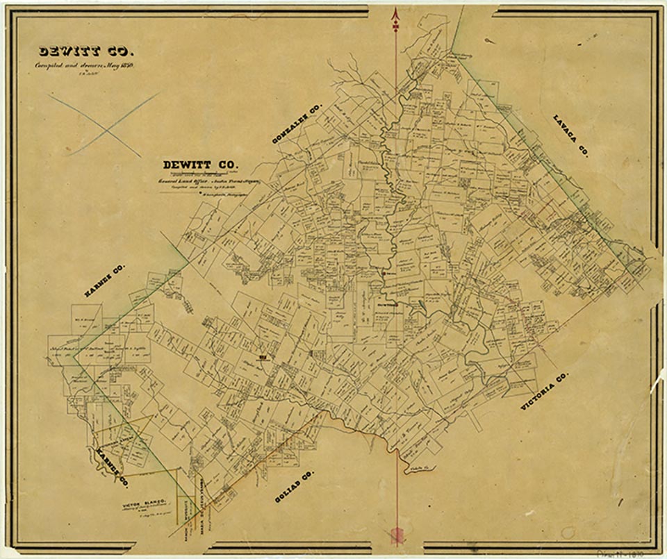
Little St. Louis was a DeWitt County community a mile north of Yorktown, an area settled predominantly by Germans. Fred Geffert opened a dance hall at the site on the highway to Davy; by 1948 the hall had been discontinued, but in 1962 the locale still had a grocery and service station. Little St. Louis was not shown on the 1965 county highway map. The town never had a post office. About a mile south of Yorktown, Herman Gruenewald opened another dance hall, which became known as Little Milwaukee. This site was abandoned by 1962.
Nellie Murphree | © TSHA
Adapted from the official Handbook of Texas, a state encyclopedia developed by Texas State Historical Association (TSHA). It is an authoritative source of trusted historical records.
- ✅ Adoption Status:
Belongs to
Little St. Louis is part of or belongs to the following places:
Currently Exists
No
Place type
Little St. Louis is classified as a Town
Location
Latitude: 28.99581090Longitude: -97.47999370
Has Post Office
No
Is Incorporated
No