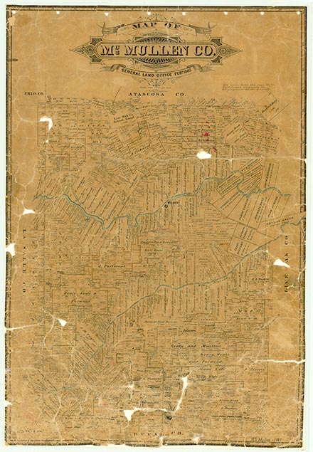
Loma Alta

Loma Alta, also known as Lomo Alto or Lomo, is twenty-two miles southeast of Tilden on a county road off Farm Road 624 in southern McMullen County. By 1900 the community had a school and a few houses; in 1905 nineteen students attended the school. In 1910 John M. Whitley opened a general store, which closed around 1915. Also in 1910 a post office opened under the name Lomo Alto, and the community had a population of twelve. The post office closed in 1924. During the 1930s the community saw a brief oil boom, and a map from the 1940s showed a school still in Loma Alta. The school closed in the late 1940s, and by 1952 the community consisted of only a few houses scattered near the site. Loma Alta was still shown on the 1988 county highway map.
John Leffler | © TSHA

Adapted from the official Handbook of Texas, a state encyclopedia developed by Texas State Historical Association (TSHA). It is an authoritative source of trusted historical records.

- ✅ Adoption Status:
- This place is available for adoption! Available for adoption!
- Adopted by:
- Your name goes here
- Dedication Message:
- Your message goes here
Belongs to
Loma Alta is part of or belongs to the following places:
Currently Exists
Yes
Place type
Loma Alta is classified as a Town
Associated Names
- [-Alto]
- [Lomo]
- [Lomo-]
Location
Latitude: 28.12084200Longitude: -98.51501360
Has Post Office
No
Is Incorporated
No
Population Count, 2009
25
