Lone Camp
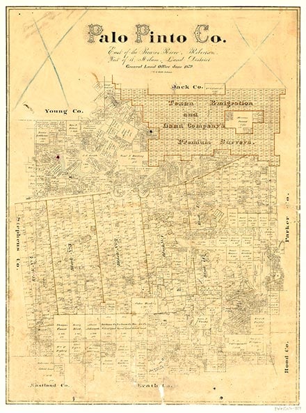
Lone Camp, on Farm Road 4 eight miles north of Santo in central Palo Pinto County, was settled in the 1870s. It had no rail or major road transportation, and its proximity to Santo and Palo Pinto inhibited its growth. A post office operated in Lone Camp from 1907 until 1920. The population was fifty in 1914 and forty-eight in 1940, when the community had two stores. It was reported at thirty-two in 1980 and 1990. The population grew to 110 by 2000.
William R. Hunt | © TSHA

Adapted from the official Handbook of Texas, a state encyclopedia developed by Texas State Historical Association (TSHA). It is an authoritative source of trusted historical records.

- ✅ Adoption Status:
- This place is available for adoption! Available for adoption!
- Adopted by:
- Your name goes here
- Dedication Message:
- Your message goes here
Belongs to
Lone Camp is part of or belongs to the following places:
Currently Exists
Yes
Place type
Lone Camp is classified as a Town
Location
Latitude: 32.67929530Longitude: -98.26865860
Has Post Office
No
Is Incorporated
No
Population Count, 2009
110

