Lone Star

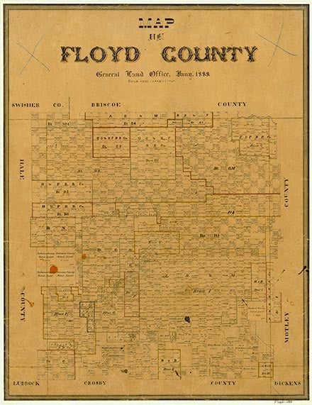
Lone Star is on Farm Road 378 eleven miles north of Lockney in northwestern Floyd County. It began in 1892 as a school community. A two-story brick school building was built in 1920; it burned down in 1926 and was replaced the next year. A Church of Christ building was constructed near the school in 1922, and a year later J. A. Van opened a community store. A gas station operated at Lone Star from 1937 to 1976, and gins, a grain elevator, a beauty shop, and a Baptist church were active in l980. The school closed in 1956, when it was merged with the Lockney schools. The population in Lone Star was 125 in 1980. By 2000 the population had decreased to forty-two.
William R. Hunt | © TSHA

Adapted from the official Handbook of Texas, a state encyclopedia developed by Texas State Historical Association (TSHA). It is an authoritative source of trusted historical records.

- ✅ Adoption Status:
Belongs to
Lone Star is part of or belongs to the following places:
Currently Exists
Yes
Place type
Lone Star is classified as a Town
Location
Latitude: 34.27423580Longitude: -101.41627490
Has Post Office
No
Is Incorporated
No
Population Count, 2009
42
