Lone Star
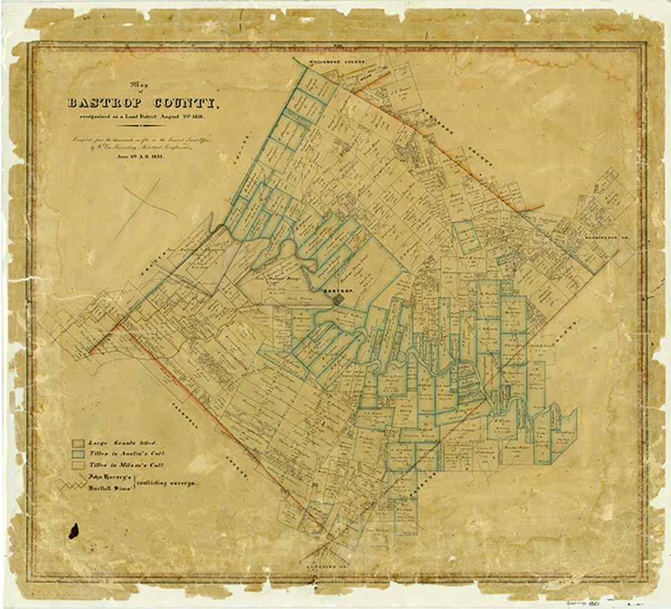
Lone Star is between State Highway 304 and Farm Road 20, three miles west of Bastrop in central Bastrop County. In 1905 Lone Star had a one-teacher school for forty black students; the school was probably consolidated with either the Goodman or the Green's Prairie school when the county instituted a district system in 1907. A church and several houses marked Lone Star on maps of the county in the 1940s and in the 1980s. By 2000 Lone Star was no longer shown on county highway maps.
Vivian Elizabeth Smyrl | © TSHA
Adapted from the official Handbook of Texas, a state encyclopedia developed by Texas State Historical Association (TSHA). It is an authoritative source of trusted historical records.
- ✅ Adoption Status:
Belongs to
Lone Star is part of or belongs to the following places:
Currently Exists
No
Place type
Lone Star is classified as a Town
Location
Latitude: 30.09361500Longitude: -97.37151700
Has Post Office
No
Is Incorporated
No