Los Arrieros
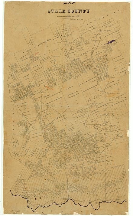
Los Arrieros is on the Rio Grande off U.S. Highway 83 ten miles northwest of Roma-Los Saenz in western Starr County. It is an old Spanish-speaking community dating to the eighteenth century. The name is Spanish for mule drivers. The location of the Arrieros Ranch has been identified as the site of the El Cántaro ford near Mier, Tamaulipas, which played a key role in the development of Nuevo Santander. In the late 1680s Alonso de León reportedly crossed the ford during one of his attempts to find Fort St. Louis. Los Arrieros was founded by descendants of followers of Spanish colonizer José de Escandón. It is mentioned as a ranch headquarters in the 1800 church census of Mier, Nuevo Santander, Mexico, as it was a part of the Mier municipality until 1848. It is again mentioned in a memorandum of 1848, explaining to the state of Tamaulipas that the Treaty of Guadalupe Hidalgo had cost the municipality 80 percent of its territory, and 400 people on ten ranches north of the Rio Grande, including Arrieros. By 1990 only a few homes remained near the river and on the gravel roads of the old town. By that time most of the people had moved up to Highway 83, where their homes stretched from the west part of the old 83 cutoff for two or three miles to the Salineño turnoff. About 300 people lived in this area, most of them from Los Arrieros. A few were from Chapeño, a settlement that broke up after the building of Falcon Dam.
Dick D. Heller, Jr. | © TSHA
Adapted from the official Handbook of Texas, a state encyclopedia developed by Texas State Historical Association (TSHA). It is an authoritative source of trusted historical records.
- ✅ Adoption Status:
- This place is available for adoption! Available for adoption!
- Adopted by:
- Your name goes here
- Dedication Message:
- Your message goes here
Belongs to
Los Arrieros is part of or belongs to the following places:
Currently Exists
Yes
Place type
Los Arrieros is classified as a Town
Location
Latitude: 26.51576870Longitude: -99.08452000
Has Post Office
No
Is Incorporated
No
Population Count, 2021 View more »
0