Los Cuates
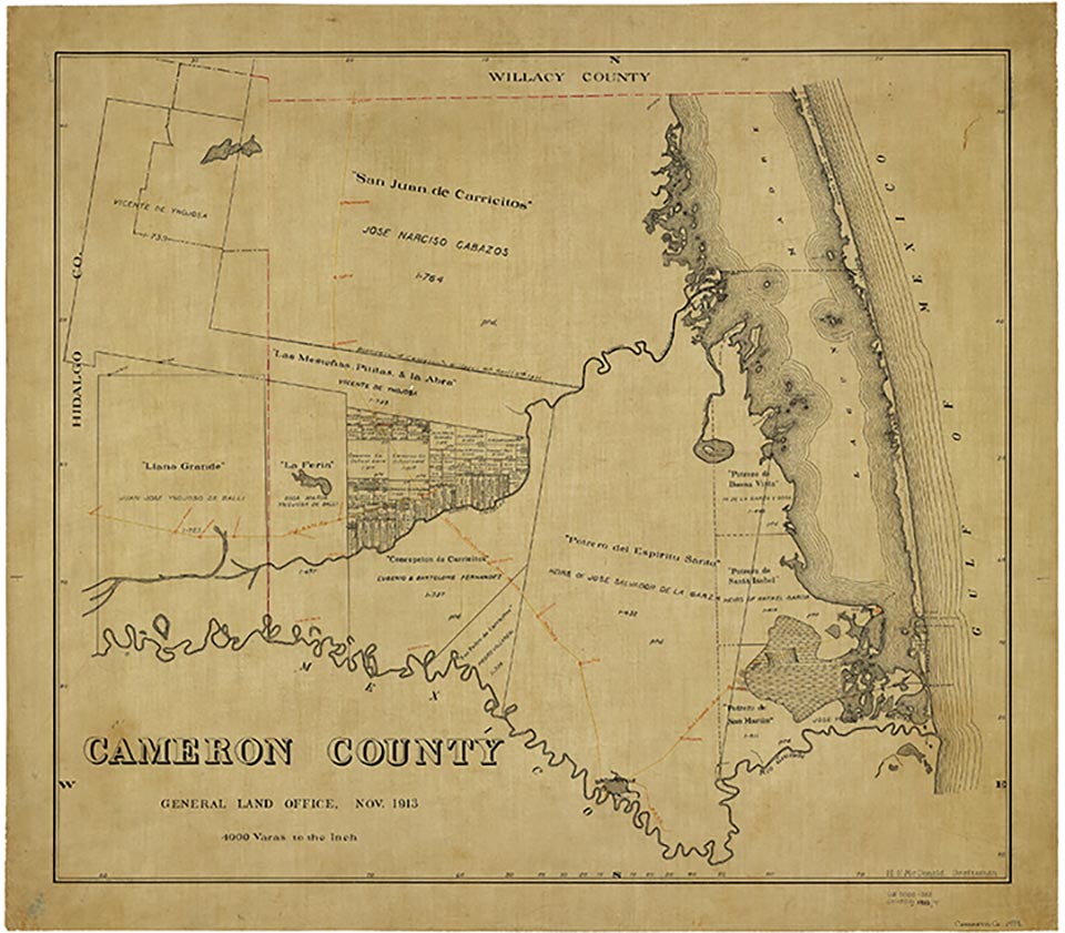
Los Cuates is a colonia a mile northwest of Los Fresnos on Farm Road 1572 in central Cameron County. The site was first settled during the late 1940s, when several scattered dwellings and farms could be found in the area. The community probably derives its name from the Resaca de Los Cuates, which surrounds it to the east, south, and west. By the 1960s the community had become a colonia comprising several scattered dwellings. In 1983 it had some thirty dwellings. The first population estimates for Los Cuates became available in 1986, when it had eighty-one inhabitants and eighteen dwellings on a five-acre site. No figures were available in 2000.
Alicia A. Garza | © TSHA

Adapted from the official Handbook of Texas, a state encyclopedia developed by Texas State Historical Association (TSHA). It is an authoritative source of trusted historical records.

- ✅ Adoption Status:
Belongs to
Los Cuates is part of or belongs to the following places:
Currently Exists
No
Place type
Los Cuates is classified as a Town
Associated Names
- (Los Fresnos)
Location
Latitude: 26.08091020Longitude: -97.49665190
Has Post Office
No
Is Incorporated
No

