Magnolia

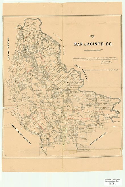
Magnolia is on Farm Road 945 sixty miles north of Houston in southeastern San Jacinto County. In 1887 the rural community was the site of one of the many Farmers' Alliance meetings in the county. Abandoned tram lines indicate that some logging was done in the vicinity. Scattered buildings remain at the Magnolia community, and oil and gas have been found in the area. In 2000 the population was 330.
Robert Wooster | © TSHA

Adapted from the official Handbook of Texas, a state encyclopedia developed by Texas State Historical Association (TSHA). It is an authoritative source of trusted historical records.

- ✅ Adoption Status:
- This place is available for adoption! Available for adoption!
- Adopted by:
- Your name goes here
- Dedication Message:
- Your message goes here
Belongs to
Magnolia is part of or belongs to the following places:
Currently Exists
Yes
Place type
Magnolia is classified as a Town
Associated Names
- (Everitt)
Location
Latitude: 30.48325900Longitude: -95.19354900
Has Post Office
No
Is Incorporated
No
Population Count, 2014
150
