Magnolia
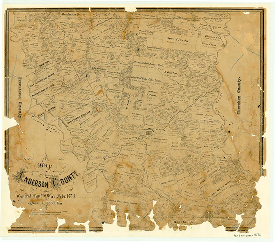
Magnolia was on the Trinity River near the intersection of Farm Road 1990 and State Highway 294, ten miles southwest of Palestine in southwestern Anderson County. It was established in the early 1840s as a Trinity River cotton port and was named for a large magnolia tree in the center of the townsite. Magnolia had a post office from 1851 to 1871. William A. Haygood was one of the principal property owners in the community and operated cotton gins, a hotel, a livery stable, a general store, a blacksmith shop, and a local ferry. Among other businesses in the community were a drugstore and John McClannahan and son's warehouse. Magnolia was reported to have a population of 800 at its peak around 1863, when the town had thirty-three blocks of residences and businesses. Most shipments from the port went to Galveston, but on May 5, 1868, a steamboat traveled up the Trinity to Dallas. After it was bypassed by the International and Great Northern Railroad in the 1870s, Magnolia declined rapidly. By the 1930s it was no longer shown on the county highway map, though its name was preserved in that of the two schools that stood on the site of the former town. In 1932 the Magnolia school for Whites had an enrollment of forty-three and the Magnolia school for Blacks, thirty-four. A 1982 map showed only the Magnolia Cemetery at the townsite.
Mark Odintz | © TSHA
Adapted from the official Handbook of Texas, a state encyclopedia developed by Texas State Historical Association (TSHA). It is an authoritative source of trusted historical records.
- ✅ Adoption Status:
Belongs to
Magnolia is part of or belongs to the following places:
Currently Exists
No
Place type
Magnolia is classified as a Town
Associated Names
- (Comanche Crossing)
Location
Latitude: 31.65906160Longitude: -95.73773500
Has Post Office
No
Is Incorporated
No