Martin's Creek
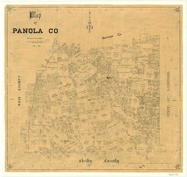
Martin's Creek was fourteen miles northwest of Carthage near the site of present Tatum in northeastern Panola County. The community was named for Daniel Martin, who settled on Martin's Creek in 1833 and with John Irons built a small fort and trading post. The settlement experienced periodic Indian attacks until 1839. When the Texas, Sabine Valley and Northwestern Railway was built through the area in 1888, Martin's Creek was designated a flag stop. In the mid-1930s a church, a school, a cemetery, and a number of houses were located in the area. The school was later consolidated with the Tatum school, and during the 1950s and 1960s many of the residents of Martin's Creek moved away. In the early 1990s only a cemetery and a few scattered houses remained in the area.
Christopher Long | © TSHA
Adapted from the official Handbook of Texas, a state encyclopedia developed by Texas State Historical Association (TSHA). It is an authoritative source of trusted historical records.
- ✅ Adoption Status:
Belongs to
Martin's Creek is part of or belongs to the following places:
Currently Exists
No
Place type
Martin's Creek is classified as a Town
Location
Latitude: 32.27995500Longitude: -94.53955700
Has Post Office
No
Is Incorporated
No