Matthews
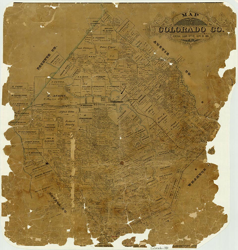
Matthews is on the Atchison, Topeka and Santa Fe Railway at the junction of Farm roads 950 and 102, on the southeastern boundary of Colorado County. The community is named for John Matthews, who came to the area in 1827 and bought the land from James Nelson, one of Austin's Old Three Hundred colonists. Tax records indicate that John Matthews prospered during the years before the Civil War, and the community that grew around his holdings served not only his plantation but also others in the area. In 1860 he was listed as owning 140 slaves. Following the Civil War many of the freed slaves settled in the area and increased the demand for goods and services. By 1880 the community had a store, a blacksmith shop, and a cotton gin. The post office was established in 1895 with Mary McRee as postmistress, and it continued in service until 1905, when mail began to be delivered regularly from Eagle Lake, six miles north. By 1900 Matthews had four businesses, a school, and a population of 100. The population remained the same until after the 1960s, when labor-intensive cotton production was replaced by mechanized grain production, primarily of rice and corn, and cattle grazing. In the mid-1980s only one business remained to serve the large family-operated farms.
Jeff Carroll | © TSHA
Adapted from the official Handbook of Texas, a state encyclopedia developed by Texas State Historical Association (TSHA). It is an authoritative source of trusted historical records.
- ✅ Adoption Status:
Belongs to
Matthews is part of or belongs to the following places:
Currently Exists
Yes
Place type
Matthews is classified as a Town
Location
Latitude: 29.49940910Longitude: -96.32274320
Has Post Office
No
Is Incorporated
No
Population Count, 2014
20