McNeel
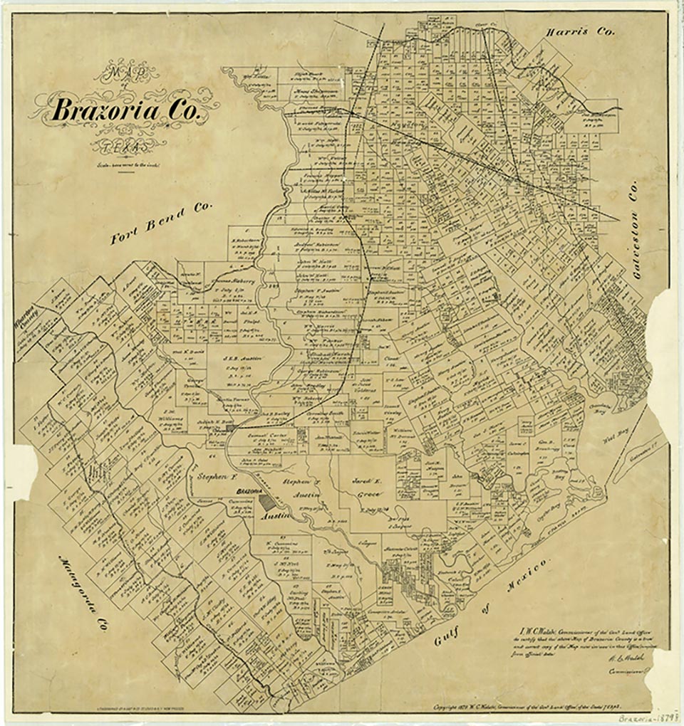
McNeel was a small rural community located off Farm Road 2918 about eleven miles east of Freeport in southern Brazoria County and adjacent to the boundary of the San Bernard National Wildlife Refuge. The early settlement on the San Bernard River was named for the McNeels, pioneers from Kentucky, who were among Stephen F. Austin's Old Three Hundred colonists. By 1826 John McNeel had established a plantation, China Grove, in the area, and his sons J. Greenville McNeel, Leander McNeel, and Pleasant McNeel also had large farming operations. The rural community of McNeel was probably in existence in the late 1820s, because on January 15, 1830, Baptist preacher Thomas J. Pilgrim advertised that he had moved his school to McNeel on Gulf Prairie. During the early twentieth century the community still contained numerous farms and other dwellings along the San Bernard River. McNeel was depicted on highway maps into the 1960s. By the 1980s the community no longer appeared on maps. No population figures were available.
Laurie E. Jasinski | © TSHA
Adapted from the official Handbook of Texas, a state encyclopedia developed by Texas State Historical Association (TSHA). It is an authoritative source of trusted historical records.
- ✅ Adoption Status:
Belongs to
McNeel is part of or belongs to the following places:
Currently Exists
No
Place type
McNeel is classified as a Town
Location
Latitude: 28.94789900Longitude: -95.55578100
Has Post Office
No
Is Incorporated
No