Medina Lake

The dam at Medina Lake
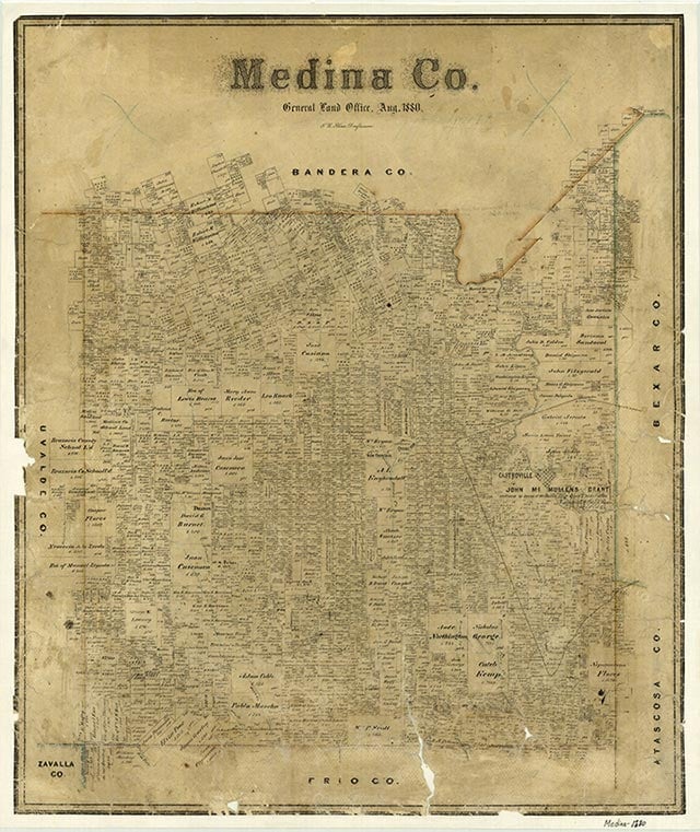
Medina Lake, an artificial lake on the Medina River, is eight miles northwest of the Medina River in southeast Bandera and northeast Medina counties (its center is at 29°32' N, 98°56' W). The lake was constructed to irrigate farmlands in Medina, Bexar, and Atascosa counties, but it also became an important recreational facility in the area.
Henri Castro explored the Medina River Valley in the 1840s and saw that its deep canyons could be used to irrigate farmlands to the south if water that periodically flooded the canyons could be contained. Castro's observation went unnoticed until the end of the nineteenth century. In 1894 Alex Y. Walton, Jr., a civil engineer from San Antonio, became excited by the possibility of impounding the Medina's floodwaters and discussed the idea with Terrell Bartlett and Willis Ranney, also civil engineers from San Antonio. The three could not raise the necessary funds for building a dam until 1910, when they were put in touch with Frederick Stark Pearson, an engineer who had been involved in power projects in North and South America and had the confidence of investors.
Yancey L. Russell | © TSHA
Adapted from the official Handbook of Texas, a state encyclopedia developed by Texas State Historical Association (TSHA). It is an authoritative source of trusted historical records.
- ✅ Adoption Status:
Belongs to
Medina Lake is part of or belongs to the following places:
Lake Measurements
- Surface Area (in acres): 6,059
- Storage Capacity (in acre-feet): 254,823
Lake Maintained or Owned by
Bexar, Medina, Atascosa Co. WID No. 1
Date of Origin
1913 (111 years ago)Currently Exists
Yes
Place type
Medina Lake is classified as a Lake
Purpose
- Irrigation