Mereta
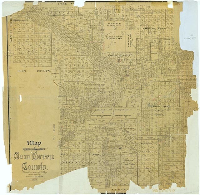
Mereta, also known as Fisherville and as Lipan, is near Farm Road 1692 and Lipan Creek eighteen miles east of San Angelo in eastern Tom Green County. The town, named by its postmaster in 1902 for twin sisters Meta and Reta Burns, had a gin, two stores, and a school in 1904, when a town plat was made. Its population fell from seventy-five in 1914 to thirty in 1925. In 1931 Mereta had three businesses and a school with three teachers; by 1934 the community's population was reported as ten, with four businesses. The 1936 county highway map showed two churches, two factories, a post office, a school, and scattered dwellings at the townsite. By 1939 a store was operating at the local community center. The population of Mereta was estimated at seventy-five from the early 1940s through 2000; the largest number of businesses reported during this time was five, in the late 1950s and again in the early 1990s. The 1984 county highway map showed a church, a business, and a park at Mereta.
Diana J. Kleiner | © TSHA
Adapted from the official Handbook of Texas, a state encyclopedia developed by Texas State Historical Association (TSHA). It is an authoritative source of trusted historical records.
- ✅ Adoption Status:
- This place is available for adoption! Available for adoption!
- Adopted by:
- Your name goes here
- Dedication Message:
- Your message goes here
Belongs to
Mereta is part of or belongs to the following places:
Currently Exists
Yes
Place type
Mereta is classified as a Town
Associated Names
- (Fisherville)
- (Lipan 1)
Location
Latitude: 31.45710560Longitude: -100.14091620
Has Post Office
Yes
Is Incorporated
No
Population Count, 2009
131