Moore's Crossing
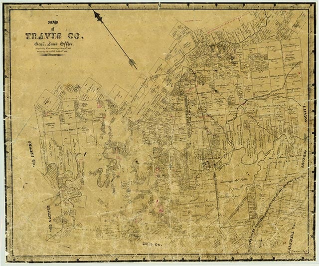
Moore's Crossing is a community near Farm Road 973 nine miles southeast of Austin in southeastern Travis County. The location was used as a low-water crossing of Onion Creek as early as the 1840s but did not receive its current name until the early 1900s, when John B. Moore built a store in the area. In 1915 part of the original Congress Avenue bridge from Austin was used to replace the low-water crossing on Onion Creek, but a flood washed it out later that year. The rest of the Congress Avenue bridge was used to rebuild the bridge on Onion Creek in 1922. A few scattered houses marked the community on county highway maps in the 1940s; the population was reported at twenty-five in 1941. The bridge at Moore's Crossing, which has received a Texas Historical Commission marker, was closed in the 1990s. The community continued to report a population of twenty-five through 2000.
Vivian Elizabeth Smyrl | © TSHA
Adapted from the official Handbook of Texas, a state encyclopedia developed by Texas State Historical Association (TSHA). It is an authoritative source of trusted historical records.
- ✅ Adoption Status:
Belongs to
Moore's Crossing is part of or belongs to the following places:
Currently Exists
Yes
Place type
Moore's Crossing is classified as a Town
Associated Names
- [Moores Crossing]
Location
Latitude: 30.16882370Longitude: -97.66389080
Has Post Office
No
Is Incorporated
No
Population Count, 2009
25