Morrill

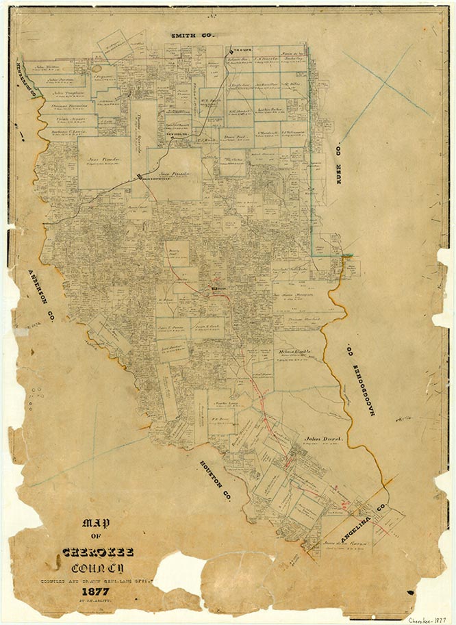
Morrill, on Farm Road 1911 two miles off U.S. Highway 69 and fifteen miles southeast of Rusk in southern Cherokee County, was named for Rowland Morrill, who established the village in 1903 as a base of operations for his Morrill Orchard Company. Located on the St. Louis Southwestern Railway, the community served a shipping point for fruit growers. The area proved to be in a "frost pocket" that frequently caused the fruit to be ruined. With the onslaught of the Great Depression, the company finally closed. In 1940 Morrill had one store, a school, and a population of 100. The school was later closed, but as late as 1966 the area still reported 100 residents. In the early 1990s Morrill was a dispersed rural community. In 2002 a Texas Historical Marker was erected honoring Morrill Orchard Company. At that time a superintendent's house was still standing.
Christopher Long | © TSHA

Adapted from the official Handbook of Texas, a state encyclopedia developed by Texas State Historical Association (TSHA). It is an authoritative source of trusted historical records.

- ✅ Adoption Status:
Belongs to
Morrill is part of or belongs to the following places:
Currently Exists
No
Place type
Morrill is classified as a Town
Location
Latitude: 31.59378880Longitude: -95.06466070
Has Post Office
No
Is Incorporated
No
