Mount Lebanon
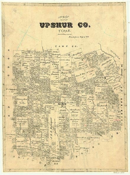
Mount Lebanon, a community off Farm Road 2088 just west of Simpsonville and fourteen miles northwest of Gilmer in western Upshur County, was probably settled sometime before 1900. In the mid-1930s it had a school and a number of houses. After World War II the school was closed and converted into a church. In 1990 Mount Lebanon was a dispersed rural community with a church and a few scattered houses.
Continue Reading
Christopher Long | © TSHA
Adapted from the official Handbook of Texas, a state encyclopedia developed by Texas State Historical Association (TSHA). It is an authoritative source of trusted historical records.
- ✅ Adoption Status:
Belongs to
Mount Lebanon is part of or belongs to the following places:
Currently Exists
No
Place type
Mount Lebanon is classified as a Town
Location
Latitude: 32.87540580Longitude: -95.11827420
Has Post Office
No
Is Incorporated
No