Mount Moriah
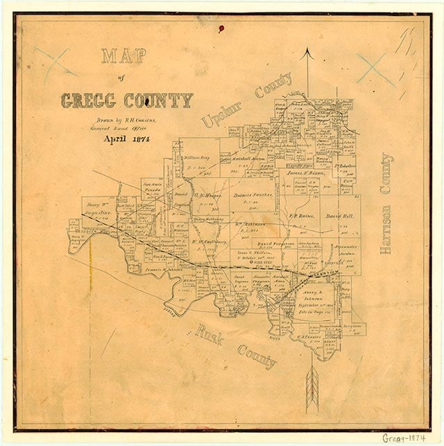
Liberty City is on State Highway 135 and Farm Road 1252, a mile north of Interstate Highway 20 in west central Gregg County. It was established before the Civil War. Portions of the extended community were known at various times as Mount Mariah and as McCary's Chapel, after two churches, and as Goforth after a local family. From 1902 to 1903 a community post office called Hog Eye operated in the home of B. F. Chapman. Chapman had wanted to call the post office Sabine after the local school, but that name was already in use for another post office, and he chose Hog Eye instead. Sources suggest that the name came from either a local hog thief or a popular fiddler's tune. During the oil boom of the early 1930s the name was changed to Liberty City. In 1940 the town had a school, a community center, an extension library, a church, and a store. After World War II the community's population grew steadily, reaching 1,390 by 1978. The community incorporated in 1982, and in 1990 Liberty City had a reported population of 1,607. The population grew to 1,935 in 2000.
Christopher Long | © TSHA
Adapted from the official Handbook of Texas, a state encyclopedia developed by Texas State Historical Association (TSHA). It is an authoritative source of trusted historical records.
- ✅ Adoption Status:
- This place is available for adoption! Available for adoption!
- Adopted by:
- Your name goes here
- Dedication Message:
- Your message goes here
Belongs to
Mount Moriah is part of or belongs to the following places:
Currently Exists
No
Place type
Mount Moriah is classified as a Town
Associated Names
- [-Mariah]
- (Liberty City)
Has Post Office
No
Is Incorporated
No