Mount Selman
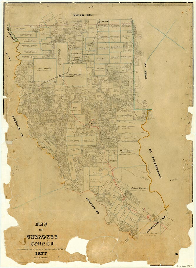
Mount Selman, also known as Selman, is at the junction of U.S. Highway 69 and Farm Road 177, twenty miles north of Rusk in northern Cherokee County. The community was established after the Kansas and Gulf Short Line Railroad was built through the area in the early 1880s. In 1884 a new town was founded on the railroad by several leading citizens of nearby Larissa (which had been bypassed by the railroad), among them Dr. R. D. Bone, J. W. Wade, J. N. McKee, and W. T. McKee. They named the community Selman in honor of Dr. James Selman, who donated land for the townsite. When the post office opened there in 1884, the town was renamed Mount Selman to avoid confusion with another town called Selman. By 1892 Mount Selman had a population of 125, served by a flour mill and gin, a Presbyterian church, and a general store, drugstore, dry-goods store, and grocery store. The town became a leading shipping center for peaches, plums, and tomatoes, and by 1914 it had reached its peak population of 500. In the early 1950s Mount Selman had a population of 220 and five businesses. Subsequently most of the remaining stores closed. The post office closed in 1973, and local mail was sent through Bullard. In 1990 the town had several churches, a community center, a few scattered houses, and an estimated population of 200. The population remained the same in 2000.
Bill Tichnell | © TSHA
Adapted from the official Handbook of Texas, a state encyclopedia developed by Texas State Historical Association (TSHA). It is an authoritative source of trusted historical records.
- ✅ Adoption Status:
Belongs to
Mount Selman is part of or belongs to the following places:
Currently Exists
Yes
Place type
Mount Selman is classified as a Town
Associated Names
- [Selman]
Location
Latitude: 32.06821780Longitude: -95.28411640
Has Post Office
No
Is Incorporated
No
Population Count, 2009
325