Mustang
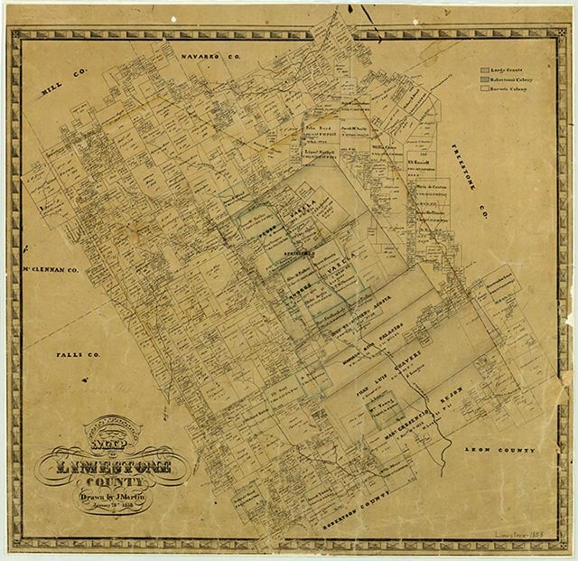
Mustang was an unincorporated black farming community on Farm Road 73 fifteen miles northwest of Groesbeck in northwest Limestone County. The settlement on Mustang Creek reported two stores in 1931 and had a population of fifteen from 1933 to 1944. It was a school district as late as 1936 and had one business and a school in 1946. Though the site was still populated in 1959, no population estimates were available after 1948. Mustang Chapel was built by 1960, and by 1965 the town school had joined the Coolidge Independent School District. State highway maps of 1986 showed a church remaining at the townsite.
Holly Marshall | © TSHA
Adapted from the official Handbook of Texas, a state encyclopedia developed by Texas State Historical Association (TSHA). It is an authoritative source of trusted historical records.
- ✅ Adoption Status:
Belongs to
Mustang is part of or belongs to the following places:
Currently Exists
No
Place type
Mustang is classified as a Town
Location
Latitude: 31.68294340Longitude: -96.73748920
Has Post Office
No
Is Incorporated
No