Napier
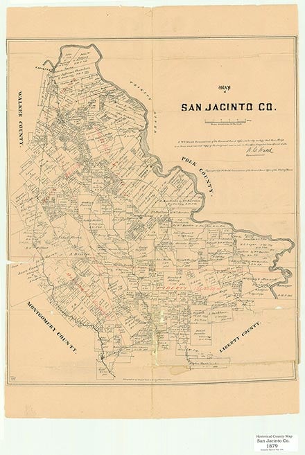
Napier is on U.S. Highway 59 fifty-five miles north of Houston in southeastern San Jacinto County. The community was shown on maps as early as 1905, when it appeared as a stop on the Houston, East and West Texas Railway. Numerous tram rail lines from Liberty County extend both east and west of Napier and indicate that the area was once the site of extensive logging operations. Napier underwent extensive development during the late 1960s and early 1970s as a result of its proximity to Shepherd, the largest town in San Jacinto County, and its location on the main highway between Houston and Lake Livingston, a popular recreation site. By 1983 Napier had been absorbed by Shepherd.
Robert Wooster | © TSHA
Adapted from the official Handbook of Texas, a state encyclopedia developed by Texas State Historical Association (TSHA). It is an authoritative source of trusted historical records.
- ✅ Adoption Status:
- This place is available for adoption! Available for adoption!
- Adopted by:
- Your name goes here
- Dedication Message:
- Your message goes here
Belongs to
Napier is part of or belongs to the following places:
Currently Exists
No
Place type
Napier is classified as a Town
Location
Latitude: 30.48381500Longitude: -95.00604500
Has Post Office
No
Is Incorporated
No