Nesbitt
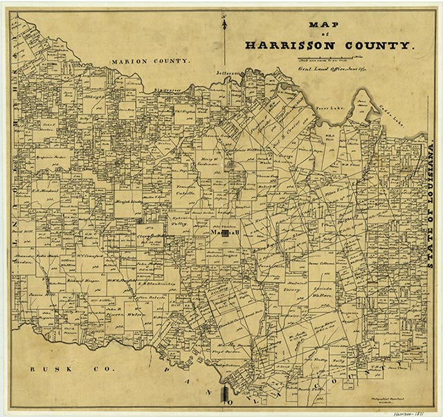
Nesbitt is on State Highway 154 seven miles northwest of Marshall in western Harrison County. It was probably named for the Nesbitt family, who settled in the area around 1850. The oldest grave in the Nesbitt cemetery, located south of Nesbitt, dates to 1851. By 1896 Nesbitt had a voting box, and in 1904 the community had five schools serving 256 Black pupils and one school serving twenty-seven White pupils. In the 1930s the dispersed community consisted of one business, two churches, two schools, and a number of scattered dwellings. In 1962 Nesbitt had the Oak Haven Home, the Nesbitt Baptist Church, and a collection of houses, but it began to grow in the later 1960s, possibly because of the development of the nearby Petit oilfield. The community incorporated about 1970, and its population was estimated at sixty in 1972 and 270 in 1980. The town declined to 141 residents by 1988, but in 1990 its population was reported as 327. The population was 302 in 2000.
Mark Odintz | © TSHA
Adapted from the official Handbook of Texas, a state encyclopedia developed by Texas State Historical Association (TSHA). It is an authoritative source of trusted historical records.
- ✅ Adoption Status:
- This place is available for adoption! Available for adoption!
- Adopted by:
- Your name goes here
- Dedication Message:
- Your message goes here
Belongs to
Nesbitt is part of or belongs to the following places:
Currently Exists
Yes
Place type
Nesbitt is classified as a Town
Associated Names
- [-ville]
- (Cypress)
Location
Latitude: 32.58937250Longitude: -94.44649200
Has Post Office
No
Is Incorporated
No
Population Count, 2021 View more »
179