O.C. Fisher Lake

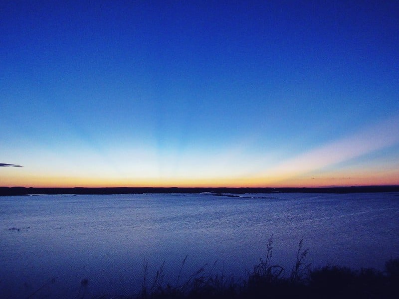
Sunset on O.C. Fisher Lake

O. C. Fisher Lake is on the North Concho River in the Colorado River basin at the northwestern outskirts of San Angelo in Tom Green County (the dam is at 31°29' N, 100°29' W). Construction was authorized under the flood control acts of August 18, 1941, and December 22, 1944. The dam was built by the United States Army Corps of Engineers, starting in May 1947, and the project was in full operation by the end of 1952; the cost was $14,810,000. The main embankment is a compacted earth structure 40,885 feet long with a maximum height of 128 feet. The lake, with an elevation of 1,938.5 feet above mean sea level at the crest of its spillway, is designed to protect San Angelo and other areas below the dam from flooding and to provide 396,400 acre-feet of storage capacity for flood control and 119,200 acre-feet of capacity for conservation control. Six intake openings in the reinforced concrete outlet and two thirty-inch-diameter conduits provide for the collection and release of water. At the top of the conservation pool, the lake is 8½ miles long and 2½ miles wide at its widest point. It covers an area of 8½ square miles and has twenty-seven miles of shoreline. During extreme floods, the lake is twelve miles long and four miles wide at its maximum point and covers an area of about twenty square miles. The reservoir was originally named San Angelo Lake and has been known by several other names. It was renamed in 1975 in honor of United States congressman O. C. Fisher, who had served the Twenty-first District for thirty-two years. Though it was constructed primarily for flood control and municipal water supply, the lake attracted private investors, who planned a south-shore resort with cabins, a riding stable, and an airstrip. The project failed, however, because of a water shortage. San Angelo still draws its primary water supply from Lake Nasworthy, and uses Twin Buttes Reservoir and O. C. Fisher as secondary water sources.
Otto W. Tetzlaff | © TSHA

Adapted from the official Handbook of Texas, a state encyclopedia developed by Texas State Historical Association (TSHA). It is an authoritative source of trusted historical records.

- ✅ Adoption Status:
- This place is available for adoption! Available for adoption!
- Adopted by:
- Your name goes here
- Dedication Message:
- Your message goes here
Belongs to
O.C. Fisher Lake is part of or belongs to the following places:
Lake Measurements
- Surface Area (in acres): 1,265
- Storage Capacity (in acre-feet): 119,445
Lake Maintained or Owned by
USAE; Upper Colorado River Authority
Date of Origin
1952 (72 years ago)Currently Exists
Yes
Place type
O.C. Fisher Lake is classified as a Lake
Purposes
- Conservation
- Flood Control
- Recreation
- Municipal water supply
- Irrigation
- Industry
- Mining

