Obregon
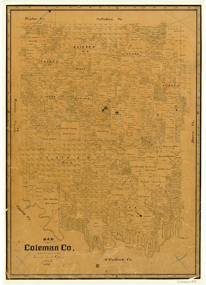
Obregon was a switch on the Santa Fe Railroad in southeastern Coleman County. It was named in the 1920s, probably for Álvaro Obregón, when a prankster spread a rumor that Mexicans were coming to capture the settlement. No community center was reported in 1940, but in 1948 county maps showed a church, a school, and scattered dwellings and farms in and around Obregon.
Continue Reading
Beatrice Grady Gay | © TSHA
Adapted from the official Handbook of Texas, a state encyclopedia developed by Texas State Historical Association (TSHA). It is an authoritative source of trusted historical records.
- ✅ Adoption Status:
Belongs to
Obregon is part of or belongs to the following places:
Currently Exists
No
Place type
Obregon is classified as a Town
Location
Latitude: 31.72209470Longitude: -99.23255510
Has Post Office
No
Is Incorporated
No