
Opelika
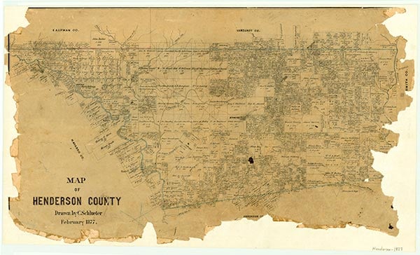
Opelika is located in Henderson County, in the valley of Kickapoo Creek thirteen miles northeast of Athens, on the St. Louis Southwestern Railway. The community was known earlier as Wanda but was renamed by a settler from Opelika, Alabama. A post office was established in 1912. A poultry breeder, a cotton gin, a fruit-growers association, a general store, and a real estate office were reported in 1914. The earliest figures showed a population of fifty until after World War II, when the number dropped to twenty. After 1970 no census figures were given. The post office was closed in 1923. Public schools were reported in 1928 and 1929, and highway maps of the mid-1930s indicate a school, a church, and one business. In the 1930s the town was heavily involved in the oil industry. The Opelika oilfield is north of the townsite. Maps in 1983 and 1985 showed a church and a cemetery.
Amy M. Reif | © TSHA

Adapted from the official Handbook of Texas, a state encyclopedia developed by Texas State Historical Association (TSHA). It is an authoritative source of trusted historical records.

- ✅ Adoption Status:
- This place is available for adoption! Available for adoption!
- Adopted by:
- Your name goes here
- Dedication Message:
- Your message goes here
Belongs to
Opelika is part of or belongs to the following places:
Currently Exists
No
Place type
Opelika is classified as a Town
Associated Names
- (Wanda)
Location
Latitude: 32.29709270Longitude: -95.67440640
Has Post Office
No
Is Incorporated
No