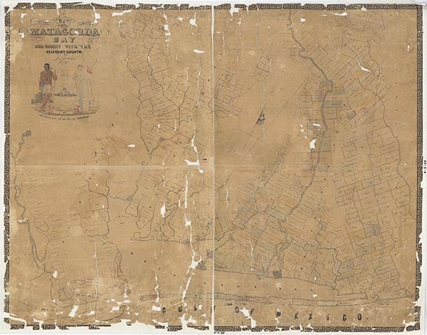
Palacios Point

Palacios Point is a sea-level cape (at 28°35' N, 96°14' W) on Tres Palacios and Matagorda bays south of Oyster Lake and eight miles south of Palacios in southwestern Matagorda County. The cape is near the Gulf Intracoastal Waterway where it cuts south of Half Moon Reef, an oyster reef where a lighthouse was built in 1858. The name of the point was probably derived from that of José Felix Trespalacios, after whom Tres Palacios Bay was also likely named. The sandy loam soils on the point support grasses. Henri Joutel's description of René Robert Cavelier, Sieur de La Salle's 1685 investigation of the Texas coast suggests to some scholars that the exploration party may have made one of its landings some five miles east of Palacios Point. Later several attempts were made to establish settlements at the point, including the communities of Palacios Point in 1838 and Portsmouth around 1900.
| © TSHA

Adapted from the official Handbook of Texas, a state encyclopedia developed by Texas State Historical Association (TSHA). It is an authoritative source of trusted historical records.

- ✅ Adoption Status:
Belongs to
Palacios Point is part of or belongs to the following places:
Currently Exists
No
Place type
Palacios Point is classified as a Town
Associated Names
- (Portsmouth)
Has Post Office
No
Is Incorporated
No
