Pantex
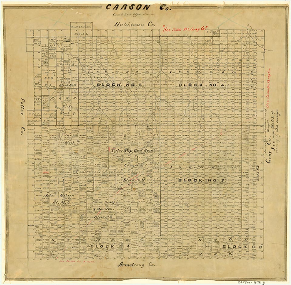
The Pantex Plant, a component of the Albuquerque Operations of the United States Department of Energy, is located in southeastern Carson County between U.S. Highway 60 and State Highway 293 seventeen miles northeast of Amarillo. The government established an army ordnance plant at the 16,000-acre site in 1942 to produce bombs and shells for the armed forces during World War II. A post office was established in November 1944 for the plant employees who lived in government housing nearby. The plant remained in operation until the war ended in August 1945, and the employees subsequently dispersed. In 1949 the War Assets Administration sold the plant for one dollar to Texas Technological College for use in agricultural research and experimentation, but the government retained the right to repossess the facility under a national-security clause. The Atomic Energy Commission reclaimed 10,000 acres in 1951 and converted the plant to the production of chemical explosives and nuclear weapons.
Throughout the next two decades the resident population of Pantex fluctuated; it was 958 in 1966 and 205 in 1970. The post office remained in operation until 1969, when it became a rural branch of the Amarillo post office. Pantex became the sole plant for weapons disassembly/modification work in 1965 and for warhead construction by 1975.
H. Allen Anderson, Laurie E. Jasinski | © TSHA

Adapted from the official Handbook of Texas, a state encyclopedia developed by Texas State Historical Association (TSHA). It is an authoritative source of trusted historical records.

- ✅ Adoption Status:
- This place is available for adoption! Available for adoption!
- Adopted by:
- Your name goes here
- Dedication Message:
- Your message goes here
Belongs to
Pantex is part of or belongs to the following places:
Currently Exists
No
Place type
Pantex is classified as a Town
Has Post Office
No
Is Incorporated
No

