Park
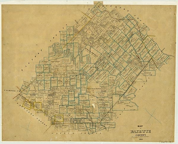
Park is at the southern end of County Road 196 on the northeastern shore of Cedar Creek Reservoir (Lake Fayette) in eastern Fayette County. It was established during the early 1860s and named for the park-like appearance of the oak grove in which it was located. It served as a cultural and trade center for the small farms on the slopes between Baylor and Cedar creeks. Because of the proximity of other trade centers, it never grew beyond a few stores, a dance hall, and a population of fifty, which it still reported in 1940. When the lake was constructed to provide cooling water for the coal-generated Fayette Power Project of the Lower Colorado River Authority, it flooded most of the neighboring farmland and left the grove, one business, and the dance hall on a peninsula. During the 1980s the LCRA and the city of Austin cooperated in building boat-launching facilities and extensive parking areas at the edge of the lake; thousands of fishermen and boaters avail themselves of the facility each year. In 1990 the population of Park was reported as twenty-two. The population grew to forty-seven in 2000.
Jeff Carroll | © TSHA
Adapted from the official Handbook of Texas, a state encyclopedia developed by Texas State Historical Association (TSHA). It is an authoritative source of trusted historical records.
- ✅ Adoption Status:
Adopted by:
The Crouse Family
In honor of Timothy Cole Park
Until: July 10th, 2024
Belongs to
Park is part of or belongs to the following places:
Currently Exists
Yes
Place type
Park is classified as a Town
Location
Latitude: 29.94578000Longitude: -96.75081060
Has Post Office
No
Is Incorporated
No
Population Count, 2009
25