Parker's Point
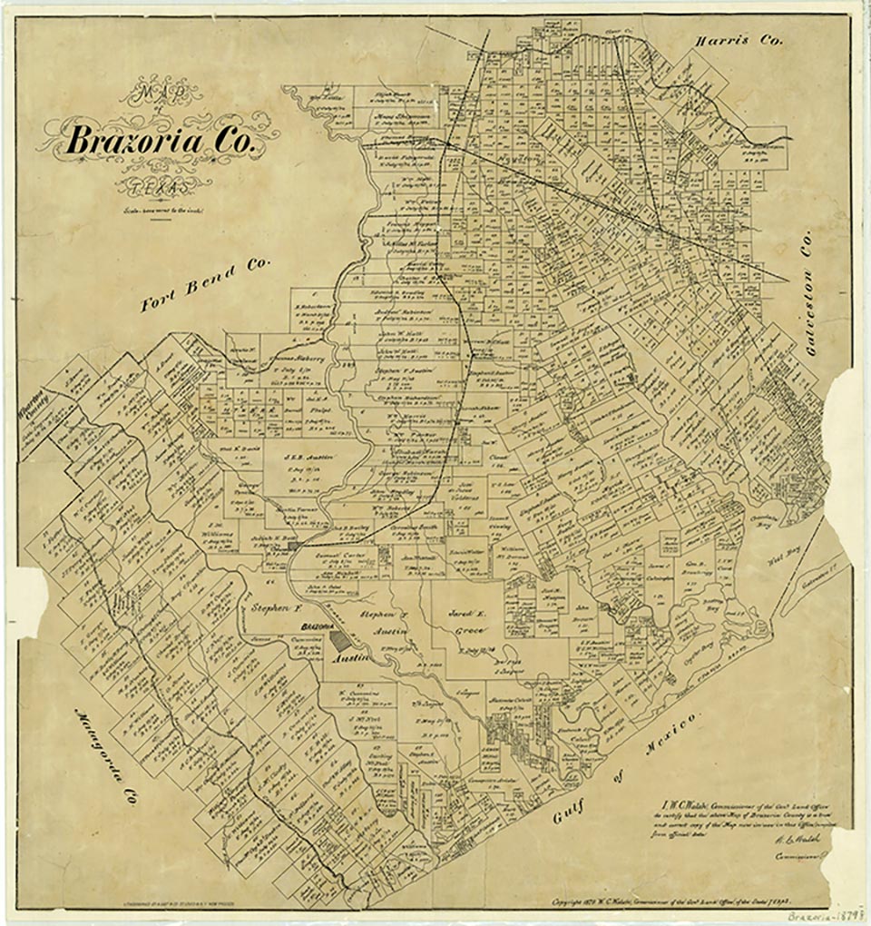
Chenango, seven miles north of Angleton on State Highway 521 and the International-Great Northern Railroad in northeast Brazoria County, was named for a town in New York State. It grew up around nearby Chenango Plantation, where the original sugar house still stood in 1990. The 1,300-acre plantation, located roughly a mile west of the town, was originally part of the William Harris survey, to which acreage belonging to S. Richardson and Joshua Abbott was added for a total of more than 3,000 acres. Around 1835 Benjamin Fort Smith bought a portion of the property, and Monroe Edwards and his partner, Christopher Dart, purchased it for conversion from cotton to sugarcane production in 1836. Conflict over ownership between the partners resulted in resale of the plantation later. When James Love and Albert T. Burnleyqqv were partners in the plantation from July 1841 to May 1848, it was known as Parker's (or Parking's) Point, the name also used by the local post office from June 1847 to July 1848. At a later date the plantation was owned by Captain Sharpe of the Eighth Texas Cavalry (Terry's Texas Rangers). In 1934 a Black couple still lived in one of the slave cabins on Chenango plantation.
A post office was established at Chenango in 1869, discontinued in 1871, reopened in 1877, and closed sometime after 1930. The community had forty residents by 1884 and became a station on the International-Great Northern by 1890, when the town had two general stores and a population of thirty. In 1906 Chenango had a White school with two teachers and twenty-two pupils and a Black school with 180 pupils and five teachers. A local cotton gin was operating by 1914. In 1929 the town had an estimated population of 100 and four businesses but by 1939 had declined to only fifty residents and two businesses. Voters in 1940 numbered twenty. By 1947 White children from Chenango attended school in Angleton and Black children continued to attend a school in Chenango. That year the community had a single business, and Chenango Plantation raised cattle and feed. Though some oil production began by 1950, state highway maps of that year showed only an abandoned railroad station and Providence Church near the townsite; the community no longer appeared in the census.
Merle Weir | © TSHA
Adapted from the official Handbook of Texas, a state encyclopedia developed by Texas State Historical Association (TSHA). It is an authoritative source of trusted historical records.
- ✅ Adoption Status:
- This place is available for adoption! Available for adoption!
- Adopted by:
- Your name goes here
- Dedication Message:
- Your message goes here
Belongs to
Parker's Point is part of or belongs to the following places:
Currently Exists
No
Place type
Parker's Point is classified as a Town
Associated Names
- [Parking's-]
- (Chenango)
Has Post Office
No
Is Incorporated
No