Patrick's Ferry
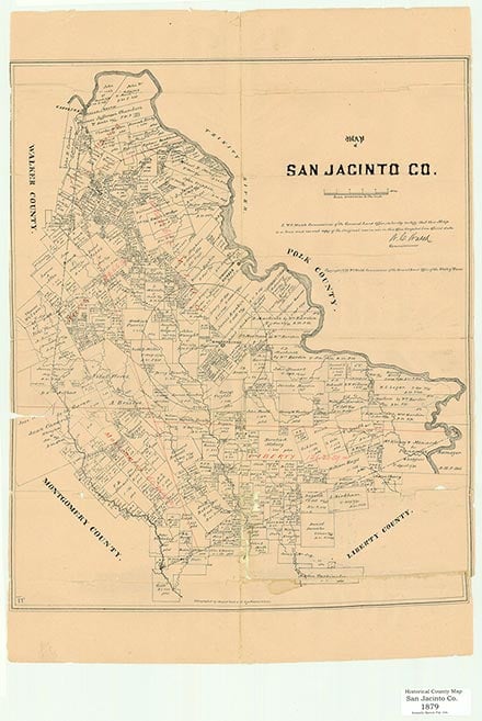
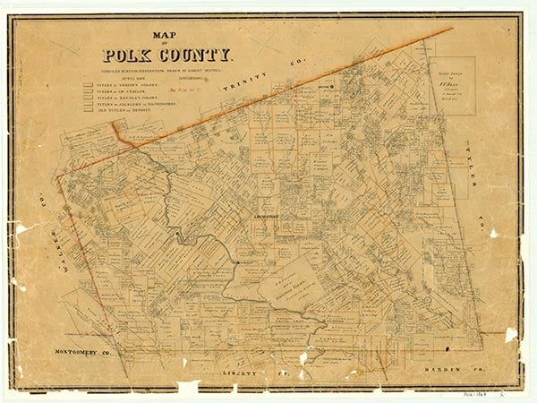

Battise (Baptiste, Battiste) Village was the upper village of the three principal communities established by the Coushatta Indians on the Trinity River in what is now Polk and San Jacinto counties. In western Polk County, near the site of present Onalaska, the Coushatta Trace crossed the Trinity River. Battise Village was at this strategic point on the west bank of the Trinity. Specifically, the location was opposite the mouth of Kickapoo Creek, and the site was included at least partly in land granted subsequently to James H. Duncan in the area that became San Jacinto County. This major Coushatta village is mentioned in surveyors' field notes for eleven original land grants in this area, including a survey for Isham T. Patrick, which was described as being immediately above the upper Coushatta village.
Battise Village was a reference point in defining the boundaries of Liberty County, which during the years of the Republic of Texas included the present counties of Polk and San Jacinto. On April 25, 1837, Daniel P. Coit, chief justice of Liberty County, wrote a letter to James P. Henderson, Republic of Texas secretary of state, in which he described the boundaries of Liberty County and said that the northern boundary should extend northward to the "Battiste" village. George T. Wood, the second governor of the State of Texas, moved to Texas in 1839 and established a plantation on the Trinity River near Battise Village.
Howard N. Martin | © TSHA
Adapted from the official Handbook of Texas, a state encyclopedia developed by Texas State Historical Association (TSHA). It is an authoritative source of trusted historical records.
- ✅ Adoption Status:
Belongs to
Patrick's Ferry is part of or belongs to the following places:
Currently Exists
No
Place type
Patrick's Ferry is classified as a Town
Associated Names
- (Battise Village)
- (Duncan's Ferry)
- (Kickapoo)
Has Post Office
No
Is Incorporated
No