Perry's Point
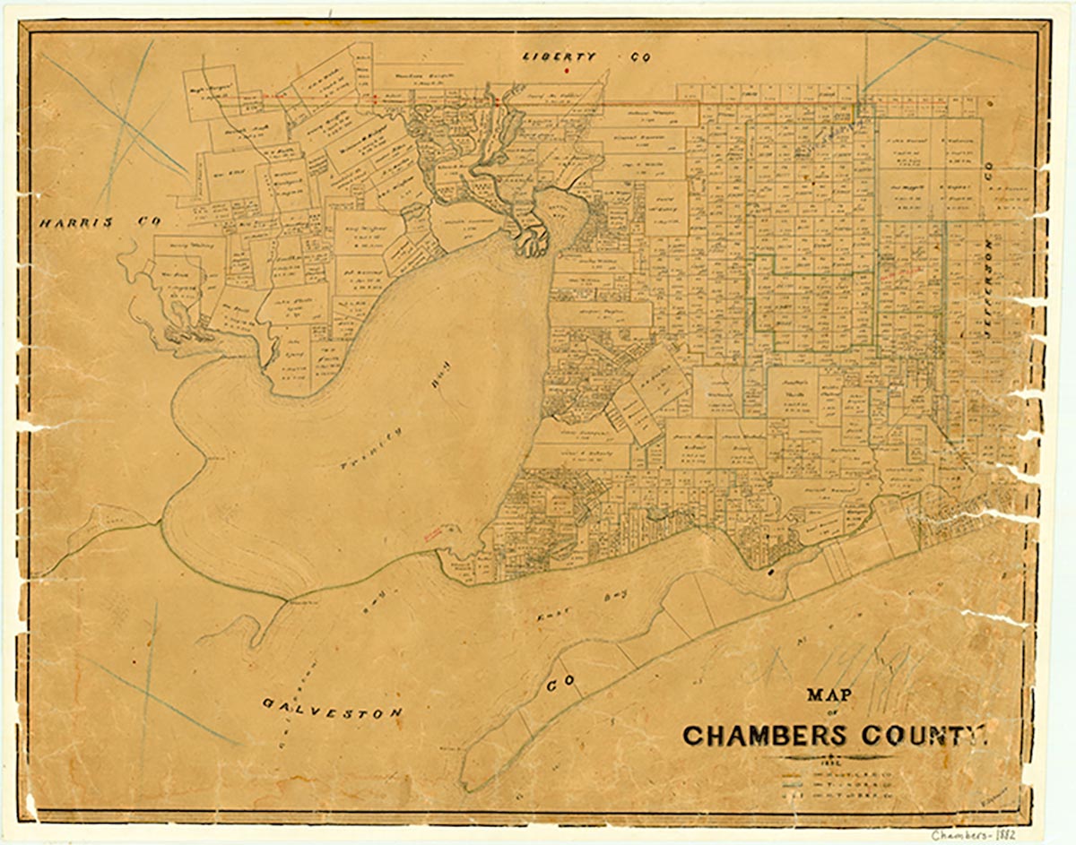
Perry's Point, a landmark point on a bluff in Chambers County below Anahuac, is where Maj. Henry Perry camped during the winter of 1816–17 and where Col. Juan Davis Bradburn built a fort in 1830. The point is labeled "Punta de Perry" on the map of Galveston Bay that Alexander Thompson made for the Mexican government in 1828. Thompson doubtless interviewed Bradburn, who had been Perry's lieutenant in 1816. James Gaines erred in telling Mirabeau B. Lamar in 1835 that Perry's Point was Bolivar Peninsula.
Margaret S. Henson | © TSHA
Adapted from the official Handbook of Texas, a state encyclopedia developed by Texas State Historical Association (TSHA). It is an authoritative source of trusted historical records.
- ✅ Adoption Status:
Belongs to
Perry's Point is part of or belongs to the following places:
Currently Exists
No
Place type
Perry's Point is classified as a Town
Associated Names
- (Anahuac)
Has Post Office
No
Is Incorporated
No