Pilares
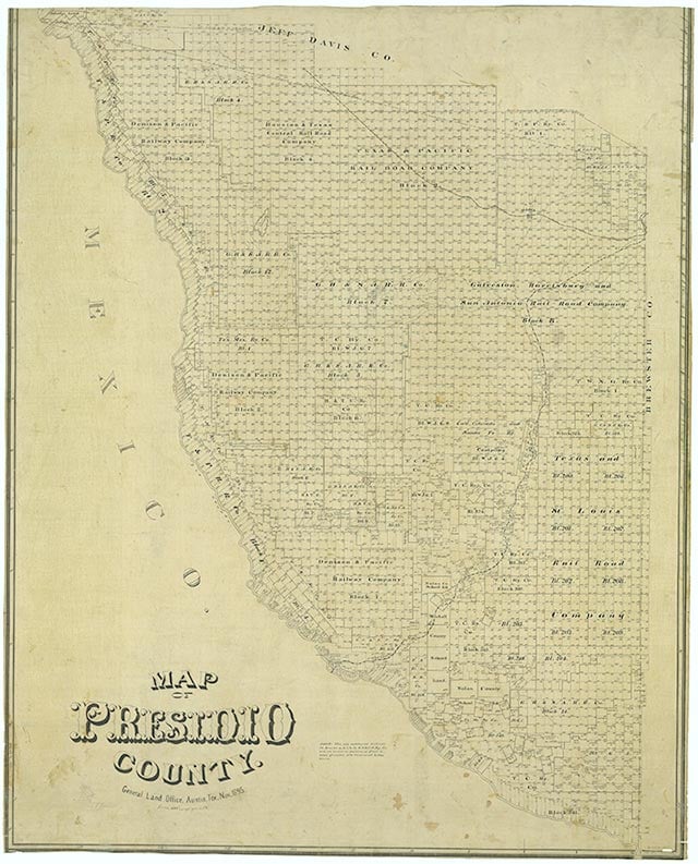
Pilares is on the Rio Grande a mile from Quinn Creek and eight miles southwest of Gettysburg Peak and San Carlos in southwest Presidio County. At the site have been a presidio, a penal colony, and a silver ore smelter. In 1750 the Spanish viceroy designated Pilares a presidio and in 1775 a military and penal colony. The soldiers, as well as the convicts marooned there, worked the farms. The source of the silver ore and the time of its extensive smelting at Pilares is unknown.
Pilares was a stronghold of criminals during the border raids in the second decade of the twentieth century. On May 21, 1915, a group including three Texas Rangers pursued a number of Mexican bandits from Pilares into the Mexican mountains to recover stolen horses and mules. After a running gunfight on May 23, the bandits escaped. The next day the group again went after the robbers. Caught in a narrow canyon by Mexican fire and greatly outnumbered, the men attempted to retreat. Rangers Trollingers and Cummins, and U.S. Customs Mounted Inspector Charles A. Craighead escaped. Meanwhile, U.S. Customs Mounted Inspector Joseph R. Sitter and Ranger Hulen, separated from the others and cut off from any escape route, were killed.
Julia Cauble Smith | © TSHA
Adapted from the official Handbook of Texas, a state encyclopedia developed by Texas State Historical Association (TSHA). It is an authoritative source of trusted historical records.
- ✅ Adoption Status:
Belongs to
Pilares is part of or belongs to the following places:
Currently Exists
No
Place type
Pilares is classified as a Town
Location
Latitude: 30.43625800Longitude: -104.85187770
Has Post Office
No
Is Incorporated
No