Pine Springs
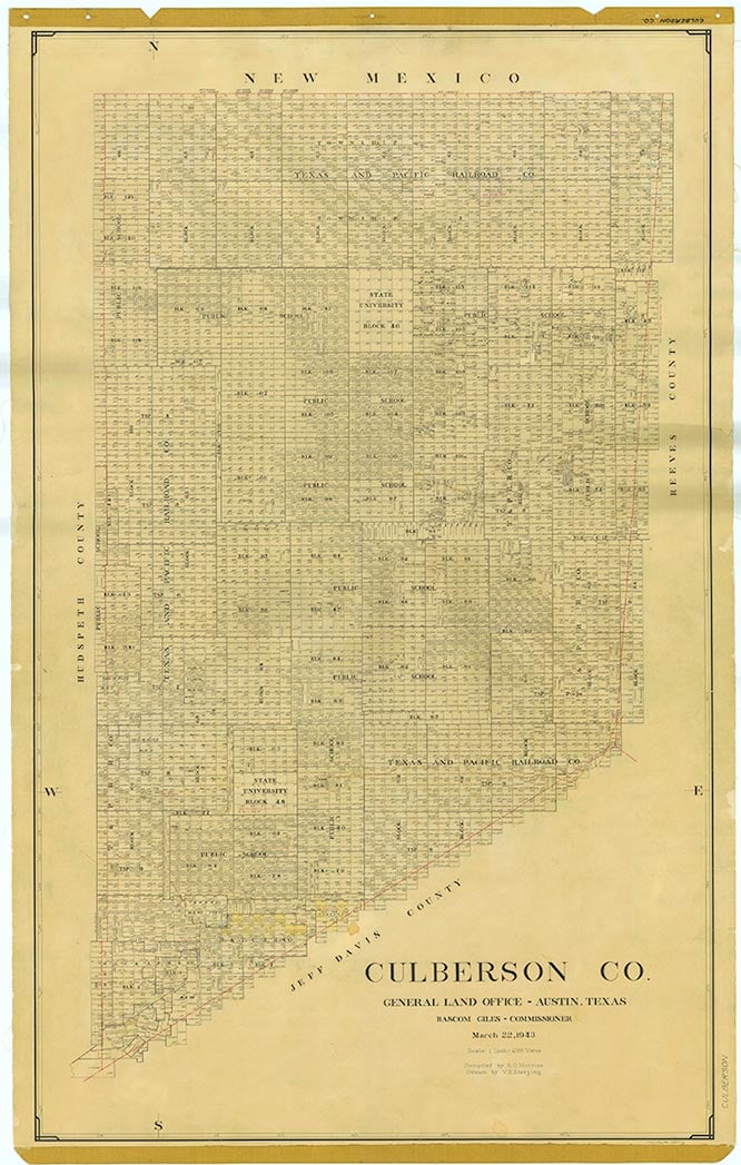
Pine Springs is on U.S. Highway 62/180 fifty-nine miles north of Van Horn and three miles southeast of Guadalupe Peak in Guadalupe Mountains National Park in northwestern Culberson County. The site was known to nineteenth-century travelers crossing Guadalupe Pass; among those who camped there were Lt. Francis Theodore Bryan and Capt. Randolph Barnes Marcy in 1849, John Russell Bartlett in 1850, and Capt. John Pope in 1854. In 1858 the Butterfield Overland Mail built a stage station, called the Pinery, at the site. When the first westbound mail arrived on September 28, 1858, only a palisade corral had been built, and station-keeper Henry Ramstein and his assistants were still living in tents. The Pinery was completed in November 1858 but was abandoned in August 1859, when the mail route was shifted to the south to take advantage of the protection afforded by forts Stockton and Davis. In 1870 troops from Fort Quitman under Maj. Albert Morrow rendezvoused at the site with reinforcements from forts Stockton and Davis to prepare for scouting expeditions against the Mescalero Apaches in the Guadalupes. The troops marched up into McKittrick Canyon and promptly became lost, although they did stumble onto one Mescalero village, which they enthusiastically pillaged. In the mid-1880s, after the Mescaleros had finally been eliminated as a threat, soldiers, freighters, and other transients still used the Pinery for shelter. By 1907 rancher Walter Glover had bought the land on which the Pinery stood and had settled in the area. Ten years later he brought his bride, Bertha, to Pine Springs. In 1928, when U.S. Highway 62 was opened, they built the Pine Springs Cafe, soon a stopping place for automobile travelers between El Paso and Carlsbad, New Mexico, which Bertha Glover ran until her death in 1982. She also became the postmistress when a post office was established in 1942, at which time the population of Pine Springs was estimated at fifty; the post office closed the next year. The estimated population grew to seventy in the mid-1940s, when three businesses were in operation, but by the mid-1960s had fallen to ten. Upon the establishment of Guadalupe Mountains National Park, which opened to the public in 1972, the estimated population rose to twenty; most of the residents worked either for the park or for the state highway department. In 1990 the community's population was still reported as twenty. Pine Springs claims to be the windiest town in Texas. Each year between February and April the town is buffeted by winds averaging fifty to eighty miles an hour and sometimes reaching 105 miles an hour. In 2000 the population remained at twenty.
Martin Donell Kohout | © TSHA
Adapted from the official Handbook of Texas, a state encyclopedia developed by Texas State Historical Association (TSHA). It is an authoritative source of trusted historical records.
- ✅ Adoption Status:
- This place is available for adoption! Available for adoption!
- Adopted by:
- Your name goes here
- Dedication Message:
- Your message goes here
Belongs to
Pine Springs is part of or belongs to the following places:
Currently Exists
Yes
Place type
Pine Springs is classified as a Town
Location
Latitude: 31.89261620Longitude: -104.81550300
Has Post Office
No
Is Incorporated
No
Population Count, 2009
20